What is recorded here
Situated on slight S-facing slope in gently undulating pasture. Raised, roughly circular area (26m E-W; 23m N-S) enclosed by a substantial bank of earth (Wth 4.8m; int. H 1.1m). There is no fosse visible at ground level. The inner face of the bank is vertical and revetted with large limestone blocks (av. 0.5m x 0.3m x 0.2m) laid up to three courses high. A break (Wth 3.75m) in the bank at SE marks the position of the original entrance.
Compiled by: Mark Keegan
Date of upload: 19 January 2011
The monument record does not grant public access. Check the route and ask the landowner before entering private land.
- What survives
- Recorded monument
Places near here
 IndicatedEnclosure · 385 yd
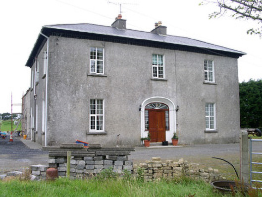 Oghil Housecountry house · 1436 yd
 Man-made underground passage in BallyoganMan-made underground passage · 1629 yd
 CastleCastle, unclassified · 1.8 mi
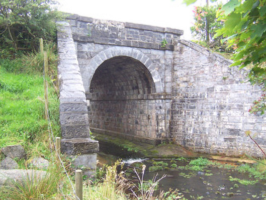 bridgebridge · 1.8 mi
 Ballynahowna CastleCastle, tower house · 2.7 mi
 Split RockNamed rock · 3.2 mi
 Wild Atlantic Way: Easky PierVisitor information · 3.4 mi
 Bunowna PointHeadland · 3.4 mi
 Jim Smith MemorialMemorial · 3.7 mi
 Wild Atlantic Way: Inishcrone PierVisitor information · 4.7 mi
 Grave of the Black PigArchaeological place · 5.2 mi