What is recorded here
Clooncoose holds a double-faced stone ring on a semi-karst hill, its outer wall still standing while the inner edge has been rebuilt in places. The completed circle would have blocked more than half the sky, yet the completed wall is no longer visible. People may have lived inside, tended animals or marked ownership of the best-viewing ground, but the wall now refuses that certainty.
At the summit and upper E slope of a semi-karst low hill in rough pasture, with best views from W to SSE. Hachured on the 1842 and 1920 eds. of the OS 6-inch map. Listed as ‘Enclosure’ in the RMP (1996). This circular cashel (int. dims. 19m N-S; 18m E-W) is defined by a double-faced wall (Wth 0.85-1.5m; int. H 0.4-0.6m; ext. H 0.5-1.1m). The outer wall-face is generally well preserved and is built of fairly regular uncoursed blocks. The original inner wall-face only survives sporadically and has been rebuilt in most sectors. The cashel interior is slightly rocky and gently E-sloping. There is a hut site (CL010-102002-) against the inner wall-face at the SW. Field walls radiate from the cashel at the ENE, SW and NNW.
Compiled by: Mary Tunney and Conn Herriott
Date of upload: 30 May 2023
A circular stone ringfort at Clooncoose, likely dating to the early medieval period, situated on a low hill with historical mapping references from 1842 and 1920. Local tradition associates it with fairy lore, as suggested by its common name.
The monument record does not grant public access. Check the route and ask the landowner before entering private land.
- What survives
- Recorded monument
Places near here
 Enclosure in ClooncooseEnclosure · 433 yd
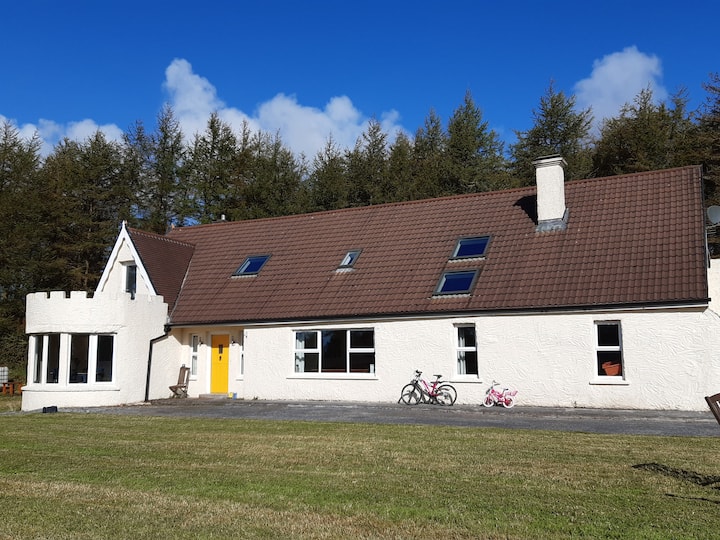 Enclosure in Clooncoose, TeeskaghEnclosure · 470 yd
 Templeline (in ruins)Church · 1.4 mi
 Burren National ParkVisitor information · 1.5 mi
 Castle in ruinsCastle, tower house · 1.7 mi
 Correen R.C. Chapel (in ruins)Church · 1.8 mi
 Farbrega RockNamed rock · 1.8 mi
 Father Ted's HouseHeritage attraction · 1.8 mi
 Castle (in ruins)Castle, unclassified · 2.1 mi
 Fergus River CaveCave · 2.5 mi
 Inchiquin IslandIslet · 3.4 mi
 Rock IslandIsland · 3.5 mi