What is recorded here
Cloghnakeava holds a collapsed stone ring above the Beagh River, its thirty-five metre circle broken by trees and time. The local name suggests fairies, but the underground passage in the southern half points to human hands, perhaps hiding grain, tools or people when danger approached. The fort has lost most of its wall, yet the ground still remembers the shape of a home built to resist being forgotten.
On a steep rise in farmland, some 120m N of the Beagh River. Poorly preserved circular cashel (diam. 35m) defined by a collapsed drystone wall; traces of inner and outer wall-facing are visible intermittently. Several trees are growing along the enclosing element. An external fosse, apparently modern, is visible at N. A Man-made underground passage (GA129-009001-) lies in the S half of the interior.
Compiled by: Galway Archaeological Survey, UCG
Date of upload: 28 November 2017
The monument record does not grant public access. Check the route and ask the landowner before entering private land.
- What survives
- Recorded monument
Places near here
 Beagh ChurchRuins · 596 yd
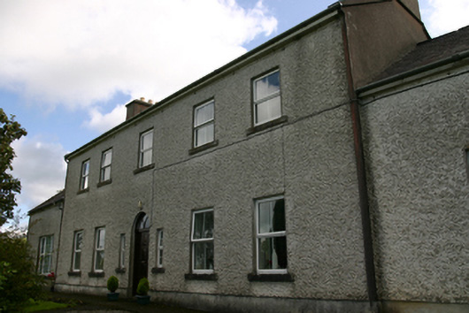 Prospect Housecountry house · 1237 yd
 IndicatedEnclosure · 1324 yd
 Cross in CarraghCross · 1333 yd
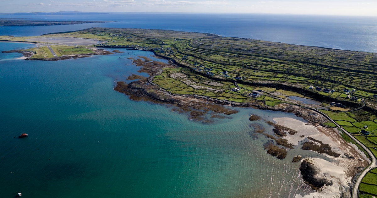 Beagh IslandWood · 1.2 mi
 Castle IslandIsland · 1.2 mi
 Castle in ruinsCastle, tower house · 1.2 mi
 Cavalry Bks on Site of Gort CastleCastle, unclassified · 1.3 mi
 Rick's IslandWood · 1.3 mi
 Holly IslandIslet · 1.6 mi
 Kilmacduagh Monastic SiteVisitor information · 3.5 mi
 Kilmacduagh MonasteryHeritage attraction · 3.5 mi