What is recorded here
Cloghballymore once held an oval stone fort, but forestry clearance and agricultural sheds have since buried the double-faced wall and erased the visible boundary. The site transforms from inhabited structure to forgotten earth, reminding us that measurement and memory need witness to survive.
In recently cleared woodland. Classified by McCaffrey (1952, 192, no. 104a) as an oval ‘Stone fort’ (c. 38.4m by 32.9m) defined by a double-faced drystone wall. When inspected in May 1992 a large mound of earth and stone, and forestry clearance (c. 70m by 50m) occupied the site and no visible surface trace of the monument survived. OSi aerial photographs (last accessed 27 November 2017) indicate that agricultural sheds have since been built on the site.
Compiled by: Galway Archaeological Survey, UCG
Date of upload: 27 November 2017
The monument record does not grant public access. Check the route and ask the landowner before entering private land.
- What survives
- Recorded monument
Places near here
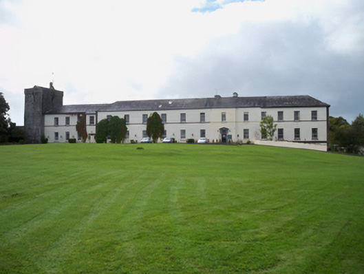 Cloghballymore Housecountry house · 520 yd
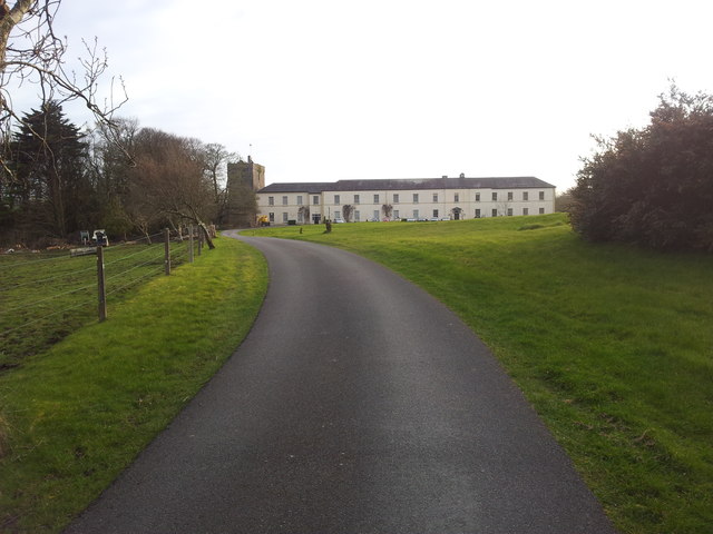 Cloghballymore Ho.House, 18th/19th century · 576 yd
 CrossCross · 995 yd
 Enclosure in Mulroog WestEnclosure · 1295 yd
 Drumacoo Monastic SiteHeritage attraction · 1.6 mi
 IllananireyIslet · 2.0 mi
 MweenisharanIslet · 2.2 mi
 Dungory Castle (in ruins)Castle, tower house · 2.4 mi
 Dunguaire CastleCastle · 2.4 mi
 Mweenish PointHeadland · 3.2 mi
 Traught BeachBeach / strand · 3.2 mi
 Kilcornan ForestWood · 4.1 mi