What is recorded here
On the summit of a ridge in rolling pastureland. Poorly preserved subcircular cashel (23.6m E-W; 20m N-S) defined by a collapsed drystone wall best preserved from NW to N. A field wall cuts through the enclosing element at S.
Compiled by: Galway Archaeological Survey, UCG
Date of upload: 27 November 2017
The monument record does not grant public access. Check the route and ask the landowner before entering private land.
- What survives
- Recorded monument
Places near here
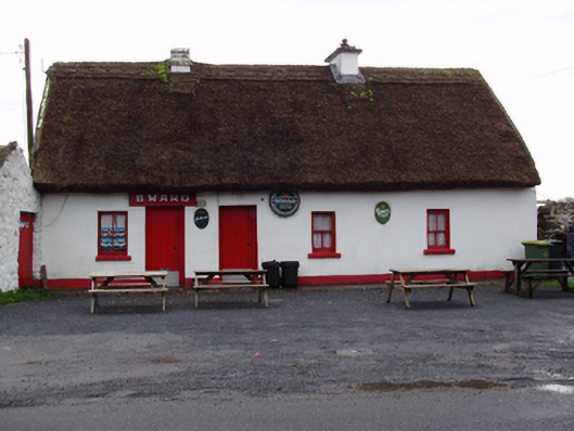 B. Wardhouse · 624 yd
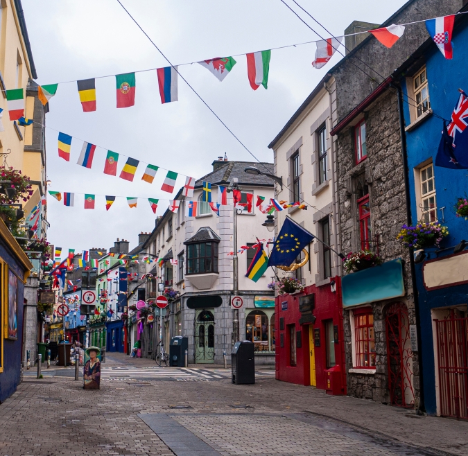 IndicatedHouse, 18th/19th century · 682 yd
 Field system in ClogharevaunField system · 874 yd
 Man-made underground passage in Carrowroe North (athenry By.)Man-made underground passage · 972 yd
 Castle (in ruins)Castle, tower house · 1097 yd
 MoteCastle, motte and bailey · 1.5 mi
 Moyard WoodWood · 3.0 mi
 Turoe StoneHeritage attraction · 3.4 mi
 Athenry AbbeyHeritage attraction · 4.8 mi
 Horse-chestnutHorse-chestnut · 5.1 mi
 First Battle of Athenrybattle · 5.3 mi
 Barrack IslandIslet · 5.7 mi