What is recorded here
That is a cashel, a ringfort built of stone and time, standing in Cleighran where the land still remembers being shaped by human hands. It is not a fantasy fort, though fairy stories may have gathered around it later. The stones, entrance, roadway and nearby fields show that people lived there, worked there and left a place others could return to.
Situated on a WNW-ESE ridge of rock outcrop in a low-lying position amongst drumlins. This is a grass and scrub-covered circular area (int. diam. 18.8m N-S; 17.7m E-W) defined by a grass-covered stone spread (Wth 2-7.4m; int. H 0.7m) with some facing-stones visible. There is a possible entrance (Wth 1.1m) at SSE. A sunken roadway (Wth 3.2m) approaches from the S, and the remains of fields with lazy-beds and a rectangular enclosure (dims. 17m E-W; 9m N-S) lie to the W. Cashel (LE014-035----) is c. 160m to the E.
The above description is derived from 'The Archaeological Inventory of County Leitrim' compiled by Michael J. Moore (Dublin: Stationery Office, 2003). In certain instances the entries have been revised and updated in the light of recent research.
Date of upload: 23 September 2008
The monument record does not grant public access. Check the route and ask the landowner before entering private land.
- What survives
- Recorded monument
Places near here
 Fairy fort / stone ringfort in CleighranFairy fort / stone ringfort · 209 yd
 Corn kilnSweathouse · 1238 yd
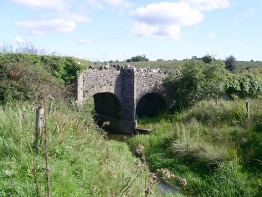 bridgebridge · 1605 yd
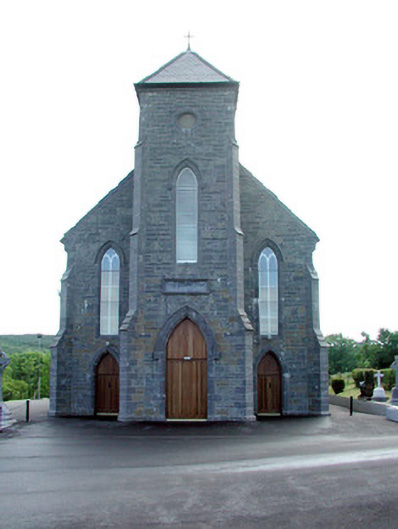 Saint Mary's Catholic Churchchurch/chapel · 1.1 mi
 CastleCastle, unclassified · 1.3 mi
 MoteCastle, motte · 1.7 mi
 SlishwoodWood · 3.2 mi
 Cullentra ForestForest · 3.3 mi
 Giants GraveArchaeological place · 3.4 mi
 Trawane BayBay · 3.5 mi
 InnisfreeIslet · 3.6 mi
 Slishwood Island WestIslet · 3.9 mi