What is recorded here
Cashellackan likely took its name from the stone ringfort still crouching in the pasture, a circular cache of mossy walls built to command the ridge above the boggy valley. The stones still stand highest where the land drops away, suggesting people chose that exact edge because it watched the darkness below. You can walk the broken rim and imagine the fort not as a dead shape but as a lived boundary, a small defended world where ordinary life depended on reading the sky and the slope.
In pasture, in the SW corner of a field, located on an E–W ridge with a fall of ground immediately to N into a boggy valley. Slightly raised, roughly circular area (26m N–S; c. 23m E–W) defined SSE–NE by a stony scarp topped by a slightly raised, moss-covered stony rim (Wth c. 2m). The scarp is highest at N and S (H 1-1.2m). At ENE–SE the scarp has been levelled to a broad low slope. The interior surface is uneven, with a shallow, roughly circular hollow (diam. c. 2m) in the SW quadrant. Known in local tradition as a 'fort', this enclosure appears to represent the remains of a cashel, possibly the one from which the townland derives its name.
Attached images:
DG107-124----_01.JPG viewed from NW
DG107-124----_02.JPG Remnant of enclosing wall at S
Compiled by: Jane O'Shaughnessy
Date of upload: 7 May 2015
The monument record does not grant public access. Check the route and ask the landowner before entering private land.
- What survives
- Recorded monument
Places near here
 Sheebarran RingfortFairy fort / earthen ringfort · 606 yd
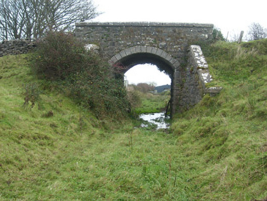 bridgebridge · 1661 yd
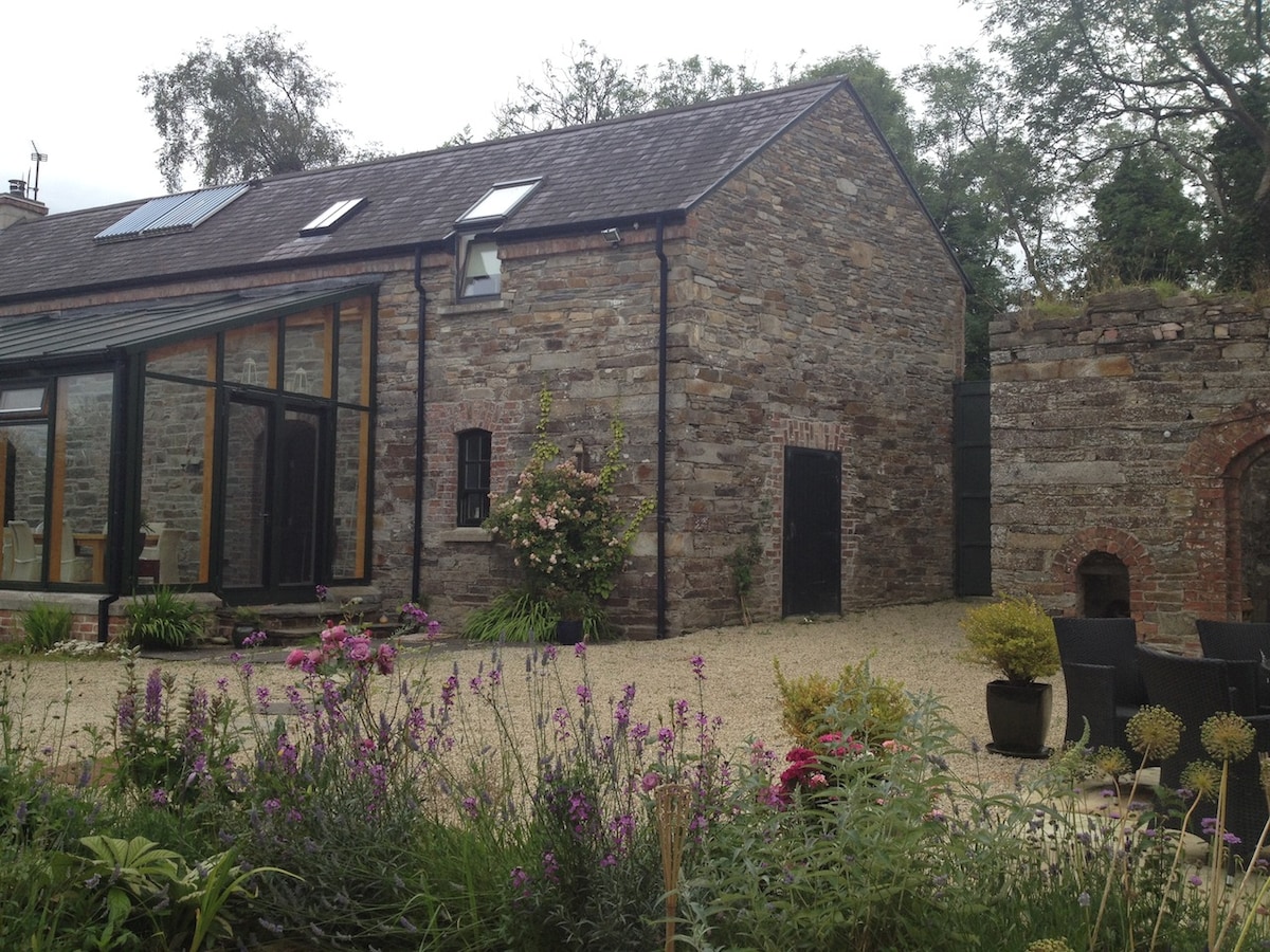 Enclosure in TwomilestoneEnclosure · 1698 yd
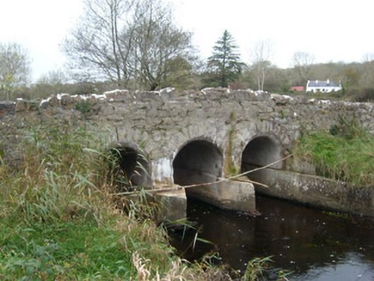 Tullymore Bridgebridge · 1712 yd
 Kilbarron Old Church GraveyardGraveyard · 1.4 mi
 St Anne's Church GraveyardGraveyard · 1.6 mi
 CastleCastle, unclassified · 1.8 mi
 Dark Cliffs at KilbarronPublicly named cliff or headland · 2.0 mi
 RossnowlaghOfficial bathing water · 2.0 mi
 Wardtown StrandBeach / strand · 2.1 mi
 Kilbarron Castle in ruinsCastle, tower house · 2.1 mi
 Tullan StrandBeach / strand · 2.5 mi