What is recorded here
Fairy fort / stone ringfort in Carrowreagh (leyny By.) is a fairy fort or stone ringfort in Carrowreagh (leyny By.), County Sligo, Ireland. It occupies a circular area about 24m across on the southern slopes of the Ox Mountains, where the north half sits 1m below and the south half 1m above external ground level. A drystone wall 1.8m wide and about 1.25m high internally defines the west and north arcs, while bushes and brambles densely cover the cashel. A possible underground passage occurs in the west half of the interior.
On the southern slopes of the Ox Mountains, with streams to N and E. A circular area (diam. c. 24m) terraced into the hillslope, with the N half c. 1m below and the S half c. 1m above the external ground level. The edge of the interior along the W and N arcs is defined by a drystone wall (Wth 1.8m; int. H c. 1.25m; ext. H c. 0.9m). The cashel is densely overgrown with bushes and brambles. There is a possible Man-made underground passage (SL036-022002-) in the W half of the interior.
The above description is derived from the published 'Archaeological Inventory of County Sligo' compiled by Ursula Egan, Elizabeth Byrne, Mary Sleeman with Sheila Ronan and Connie Murphy (Dublin Stationery Office, 2005).
Date of upload: 18 January 2008
A circular early-medieval stone ringfort in Carrowreagh, likely dating to between the 6th and 10th centuries, characterized by a terraced enclosure on the southern slopes of the Ox Mountains. Local tradition associates such sites with fairy dwellings, reflecting their enduring presence in Irish folklore as Otherworldly or supernatural places.
The monument record does not grant public access. Check the route and ask the landowner before entering private land.
- What survives
- Recorded monument
Places near here
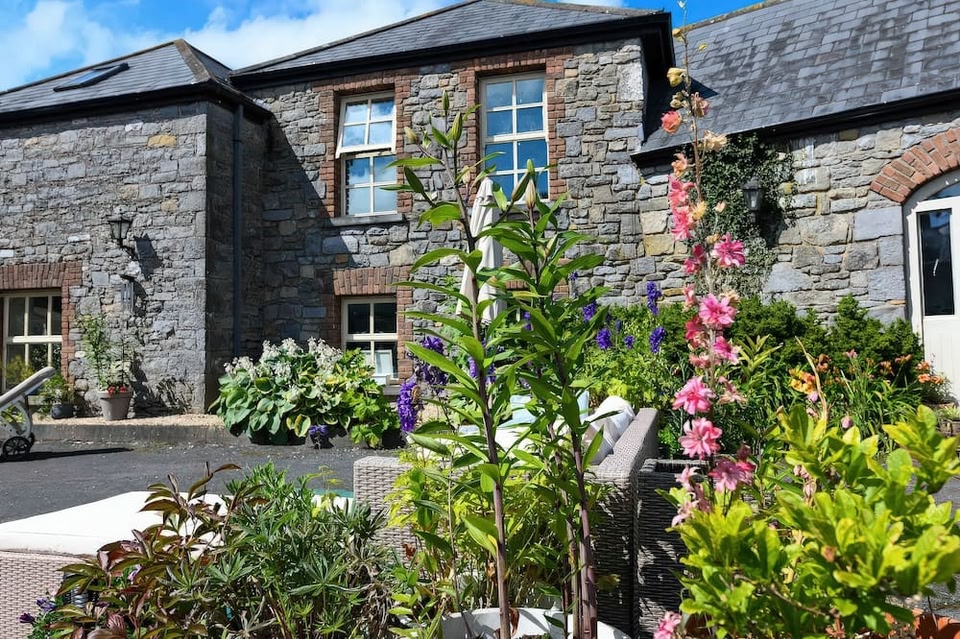 CashelbawnFairy fort / stone ringfort · 456 yd
 Tober KeerannHoly well · 504 yd
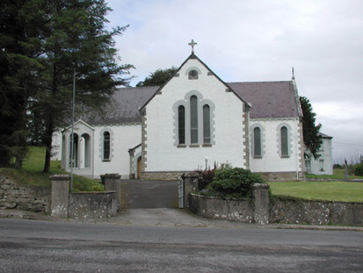 Catholic Church of Our Lady of the Rosarychurch/chapel · 647 yd
 Church in KilmacteigeChurch · 658 yd
 Castle (in Ruins)Castle, tower house · 1.1 mi
 Castle Carragh in RuinsCastle, unclassified · 3.0 mi
 KnockasliggaunMountain / peak · 3.2 mi
 Lough Talt TrailVisitor information · 3.3 mi
 Largan HillMountain / peak · 4.2 mi
 Carrick WoodWood · 4.2 mi
 New WoodWood · 4.8 mi
 Mass RockNamed rock · 4.8 mi