What is recorded here
That is a fairy fort, a stone ringfort on a steep hillock at the NE foot of Tievebaun Mountain in County Leitrim. It is a grass and reed-covered subcircular area, 23m E-W and 18.5m N-S inside, defined by a slight grass-covered stone spread 2-3m wide and 0.25m high with bushes, and outer facing-stones 0.4m high visible at SE for 9m. The original entrance is not identified.
On top of a steep-sided and prominent hillock which is at the NE foot of Tievebaun Mountain. This is a grass and reed-covered subcircular area (int. dims 23m E-W; 18.5m N-S) defined by a slight grass-covered stone spread (Wth 2-3m; H 0.25m) with bushes, and outer facing-stones (H 0.4m) are visible at SE (L 9m). The original entrance is not identified
The above description is derived from 'The Archaeological Inventory of County Leitrim' compiled by Michael J. Moore (Dublin: Stationery Office, 2003). In certain instances the entries have been revised and updated in the light of recent research.
Date of upload: 23 September 2008
The monument record does not grant public access. Check the route and ask the landowner before entering private land.
- What survives
- Recorded monument
Places near here
 Mass-rock in ShesknanMass-rock · 579 yd
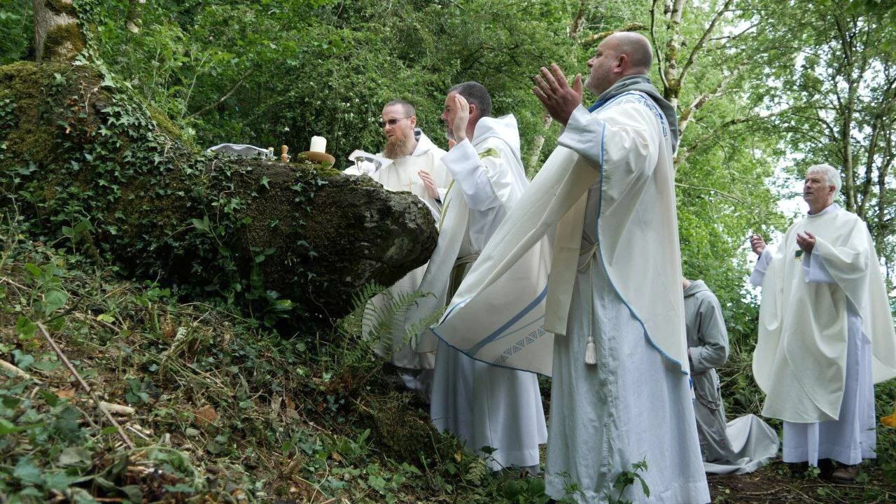 Mass-rock in Aghamore (rosclogher By., Aghanlish Ed)Mass-rock · 1138 yd
 Church in Drummans (rosclogher By., Aghanlish Ed)Church · 1368 yd
 TievebaunMountain / peak · 1.4 mi
 Cormac Reagh's HoleCave · 1.6 mi
 Eagle's RockMountain / peak · 2.0 mi
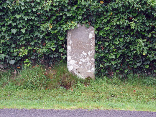 milestone/milepostmilestone/milepost · 2.7 mi
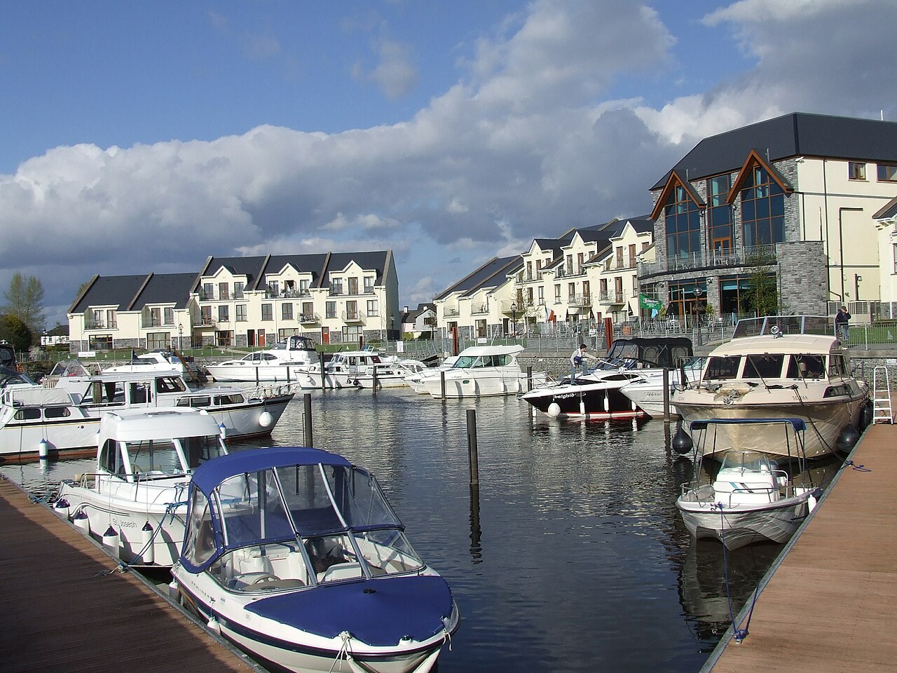 AghalateeveMountain / peak · 2.8 mi
 Gleniff Horseshoe Drive 2Viewpoint · 3.0 mi
 Gleniff Horseshoe DriveViewpoint · 3.1 mi
 Bawn in DuncarbryBawn · 3.8 mi
 Giant's GraveArchaeological place · 4.0 mi