What is recorded here
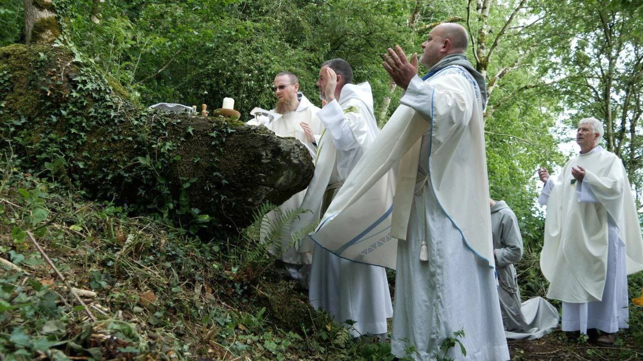
On the N-facing slope of the foothills of the Tievebaun plateau, and on the E side of a S-N stream that forms the boundary with Co. Sligo. A finger of bedrock (dims c. 1.3m x c. 0.4-1m; H 1m) with no visible markings projects W from the slope and is known locally as a mass-rock. A commemorative Mass was celebrated here in the 1990s. (Gallogly 1993-4, 433, Largydonnell)
The above description is derived from 'The Archaeological Inventory of County Leitrim' compiled by Michael J. Moore (Dublin: Stationery Office, 2003). In certain instances the entries have been revised and updated in the light of recent research.
Date of upload: 23 September 2008
A mass-rock associated with clandestine Catholic worship during the Penal Times; such sites were used to celebrate Mass in secret when religious persecution was high. No specific saint or cure is linked to this location, and no distinct folklore is recorded.
The monument record does not grant public access. Check the route and ask the landowner before entering private land.
- What survives
- Recorded monument
Places near here
 Mass-rock in ShesknanMass-rock · 1256 yd
 TievebaunMountain / peak · 1584 yd
 Cormac Reagh's HoleCave · 1672 yd
 IndicatedFairy fort / stone ringfort · 1.0 mi
 Church in Drummans (rosclogher By., Aghanlish Ed)Church · 1.4 mi
 Eagle's RockMountain / peak · 1.6 mi
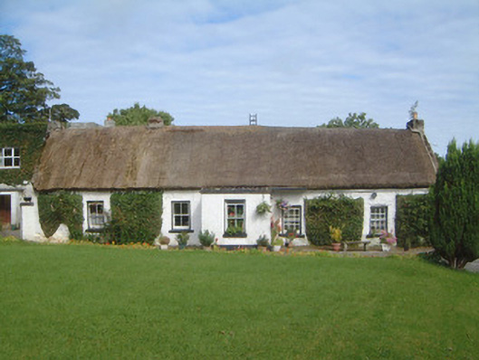 Gorteen Farmhouse · 2.1 mi
 Gleniff Horseshoe Drive 2Viewpoint · 2.3 mi
 Gleniff Horseshoe DriveViewpoint · 2.4 mi
 TruskmoreMountain / peak · 2.6 mi
 Doneen WestCliff · 3.7 mi
 Memorial Francis FinnMemorial · 3.9 mi
Other information
Photo: Credit not shown in the picture search · Rights wording not checked; contact us if this picture should be removed