What is recorded here
Fairy fort / stone ringfort in Carrownolan is a fairy fort or stone ringfort in Carrownolan, County Roscommon, Ireland. It appears only on the 1915 Ordnance Survey six-inch map as a circular enclosure about forty metres across on a slight rise in a low-lying landscape. The surviving subcircular area measures thirty-five by thirty metres, with a grass-covered stone spread four metres wide and half a metre high on one side, while the rest of the perimeter remains unclear.
Marked only on the 1915 ed. of the OS 6-inch map as a circular enclosure (diam. c. 40m), and situated on a slight rise in a low-lying landscape. This is a subcircular grass and scrub-covered area (dims c. 35m E-W; c. 30m N-S), with an arc of a grass-covered stone spread (Wth 4m; H 0.5m) but no visible facing-stones E-SSW. The perimeter is not clearly defined at other points.
Compiled by: Michael Moore
Date of upload: 24 August 2010
The monument record does not grant public access. Check the route and ask the landowner before entering private land.
- What survives
- Recorded monument
Places near here
 Man-made underground passage in CarrowkeenyMan-made underground passage · 943 yd
 Embanked enclosureFairy fort / earthen ringfort · 1334 yd
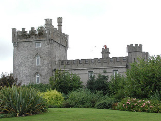 Moyvannan Castlecountry house · 1724 yd
 Kiltoom ChurchChurch · 1.1 mi
 Curraghboy CastleCastle, unclassified · 1.9 mi
 Carnagh BayBay · 2.2 mi
 Long IslandIslet · 2.4 mi
 Little IslandIslet · 2.5 mi
 Bally BayBay · 2.6 mi
 Castle (Site of)Castle, unclassified · 3.8 mi
 RindoonWood · 4.7 mi
 Siege of Athlonesiege · 5.5 mi