What is recorded here
Fairy fort / stone ringfort in Carrowkeel (athlone North By. Turrock Ed) is a fairy fort or stone ringfort in Carrowkeel (athlone North By. Turrock Ed), County Roscommon, Ireland. The circular grass-covered area sits on a slight rise in an undulating landscape. A partly grass-covered wall footing with facing-stones defines the boundary, though no original entrance remains identifiable.
On a slight rise in an undulating landscape. Circular grass-covered area (int. diam. 21.8m NNW-SSE; 20.9m ENE-WSW) defined by a partly grass-covered wall footing with facing-stones (Wth of wall: 1.25-1.55m; ext. H 0.2-0.4m) and some bushes There is no identifiable original entrance.
Compiled by: Michael Moore
Date of upload: 24 August 2010
The monument record does not grant public access. Check the route and ask the landowner before entering private land.
- What survives
- Recorded monument
Places near here
 LissaphucaFairy fort / earthen ringfort · 800 yd
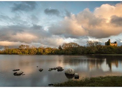 Mass-rock in CroninMass-rock · 1083 yd
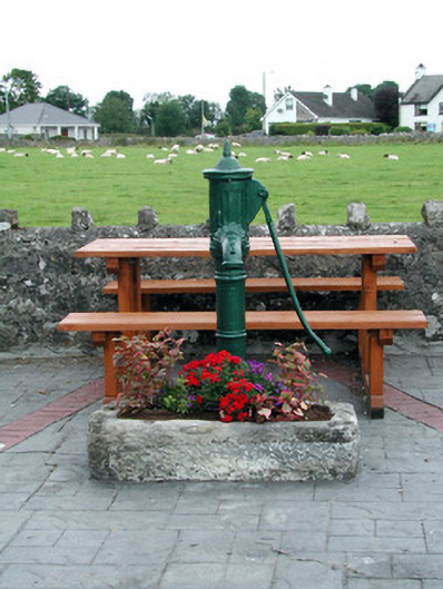 water pumpwater pump · 1.5 mi
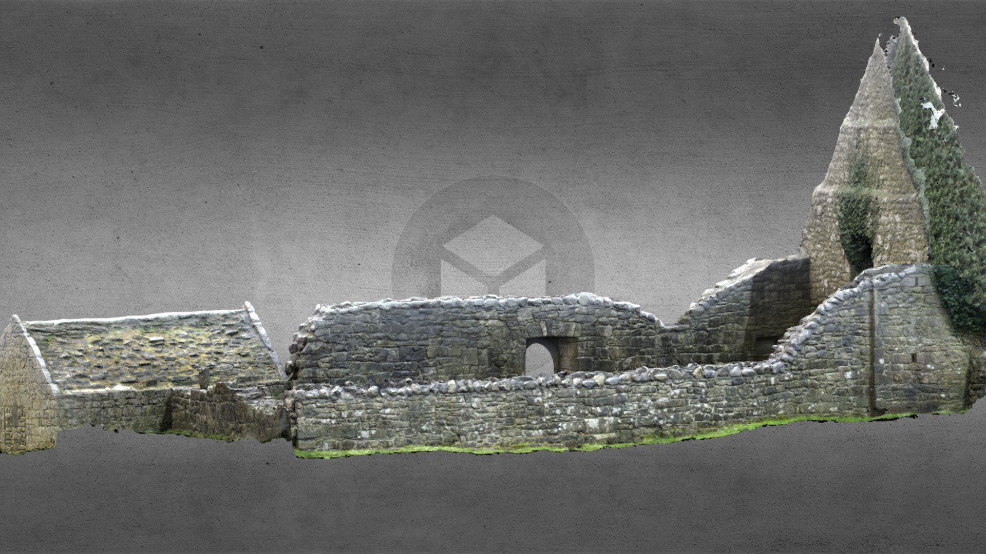 Church (in Ruins)Church · 1.5 mi
 Inch IslandIsland · 1.9 mi
 Inchnaveague IslandIslet · 2.4 mi
 CastleCastle, unclassified · 2.5 mi
 Killeglan CastleCastle, unclassified · 4.8 mi
 Sheep HillMountain / peak · 5.4 mi
 Aughrane WoodsForest · 5.9 mi
 LismoneyForest · 6.0 mi
 Mount MaryMountain / peak · 9.0 mi