What is recorded here
No visible wall remains on the E-facing slope in Carrowgarriff South, yet the lost fort measured forty-one metres north to south and thirty-two metres east to west. It is not easy to picture such a large oval when the grass gives nothing back. The place may have been a defended home, a boundary marker or a story made flesh. In that emptiness, the fort becomes a room with no walls, large enough to hold every person who ever stopped believing it could exist.
On an E-facing slope in pastureland. Classified by McCaffrey (1952, 267, no. 23) as an oval ‘Stone fort’ (c. 41.4m N-S; c. 32.6m E-W) defined by a drystone wall. No visible surface trace survives.
Compiled by: Galway Archaeological Survey, UCG
Date of upload: 24 January 2017
The monument record does not grant public access. Check the route and ask the landowner before entering private land.
- What survives
- Recorded monument
Places near here
 Enclosure in Drumharsna NorthEnclosure · 1.1 mi
 Doansheedy FortFairy fort / earthen ringfort · 1.2 mi
 farm housefarm house · 1.6 mi
 Dungory Castle (in ruins)Castle, tower house · 1.7 mi
 Dunguaire CastleCastle · 1.7 mi
 Drumharsna CastleHeritage attraction · 1.8 mi
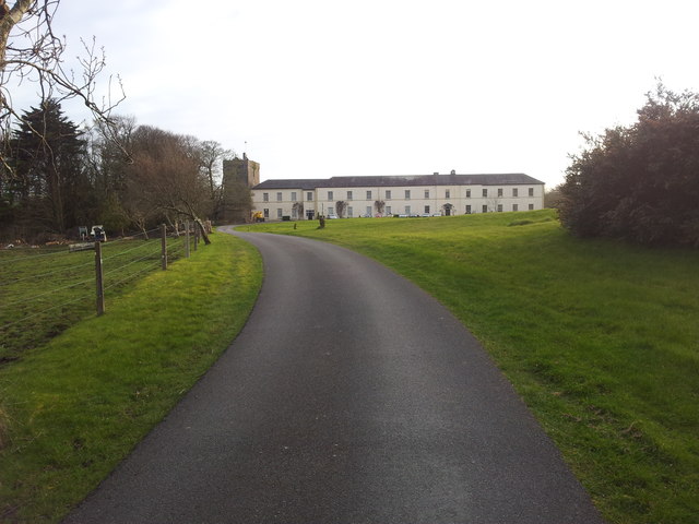 Cloghballymore Ho.House, 18th/19th century · 1.9 mi
 Mulroney's IslandIslet · 2.6 mi
 Cusheen IslandIslet · 2.9 mi
 Drumacoo Monastic SiteHeritage attraction · 3.6 mi
 HawthornHawthorn · 4.1 mi
 European ashEuropean ash · 4.1 mi