What is recorded here
Carricknahorna holds a broken stone ring on the western edge of a limestone ridge, overlooking marsh and distant pasture. Its wall has surrendered much of its height to moss, sheep and time, yet the circle still catches the eye because the land itself seems to bend around it. A small later structure leans into one gap as if accepting the fort rather than attacking it. The place does not demand belief; it waits for imagination, showing how much human life can disappear while still shaping the ground.
In rocky pasture, located at the W edge of a limestone ridge, where ground falls abruptly giving excellent views SW-NW over lower-lying undulating pasture, with an expanse of marsh at NW. A gently undulating plateau of karst extends to N and E of the cashel, overlooked by higher hills at N and at ESE. Circular area (20m N-S; c. 19m E-W) enclosed by the collapsed and robbed-out remnants of a drystone wall. The wall is evident as a very low, moss-covered stone bank or spread, varying in width from c. 3m at N-NE to c. 5-6m at SE. A short section of more clearly defined wall footings at E suggests that the original width of the wall may have been c. 2m. At SW-NW the curve of the external wall face coincides with the natural break of slope at the W edge of the ridge. The remnants of a later N-S field wall overlie the cashel wall here. There are very low areas or breaks in the wall at S (Wth 1m) and at NW (Wth 2m). Another gap at E is now partly blocked by a rectangular stone-built vernacular structure (4m E-W, c. 5m N-S) which is built into the external rubble face of the cashel wall. A low bank (Wth c. 1- 1.5m) of loose rubble/large stones lies 3m outside the cashel wall, curving from SE-S and intersecting at SW with an extant field wall. It is not clear if this is the remnants of an external cashel wall, or merely a later field wall that respected the curve of the cashel.
Compiled by: Jane O'Shaughnessy
Date of upload: 18 May 2015
The monument record does not grant public access. Check the route and ask the landowner before entering private land.
- What survives
- Recorded monument
Places near here
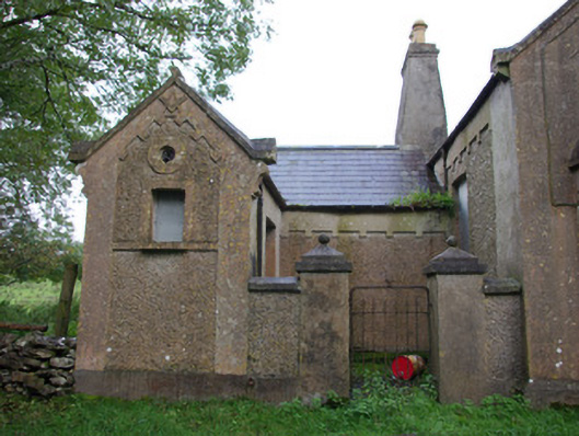 Carricknahorna Masonic HallOrange Hall, masonic lodge/hall · 422 yd
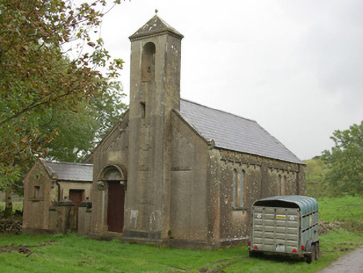 Carricknahorna Orange HallOrange Hall · 423 yd
 IndicatedFairy fort / stone ringfort · 470 yd
 Carricknahorna Low-Banked EnclosureEnclosure · 745 yd
 HawthornHawthorn · 2.0 mi
 Castle (Site of)Castle, unclassified · 2.8 mi
 Castle in ruinsCastle, unclassified · 4.0 mi
 Belleek Pottery MuseumMuseum · 4.3 mi
 Belleek PotteryHeritage attraction · 4.3 mi
 St Anne's Church GraveyardGraveyard · 4.9 mi
 MurvaghOfficial bathing water · 5.3 mi
 RSPB Lower Lough Erne IslandsNature reserve · 5.5 mi