What is recorded here
In pasture, on gentle ESE-facing slope. Circular area (diam. 30m) defined by stone bank (int. H 1m; ext. H 0.75m). Bank best preserved SSW->N, lowers E->SSW becoming scarp-like in places. Interior, sloping down gently to E, is divided by dry-stone wall (H 0.9m; Wth 0.35m) on rough E-W axis c. 8m to N of S arc. Interior densely overgrown.
Compiled by: Denis Power
Date of upload: 26 August 2011
A local fairy fort (ringfort/rath); wider significance not recorded.
The monument record does not grant public access. Check the route and ask the landowner before entering private land.
- What survives
- Recorded monument
Places near here
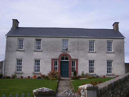 Curraheen Housecountry house · 400 yd
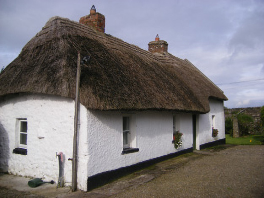 Angela's Cottagehouse · 498 yd
 Burial in Curraheen SouthBurial · 1063 yd
 Burnt mound in BallingarraneBurnt mound · 1085 yd
 Cappagh CastleCastle · 1199 yd
 Flat cemetery in CroaghFlat cemetery · 1.3 mi
 Bawn in StonevilleBawn · 1.8 mi
 Little HeavenHeritage attraction · 3.3 mi
 TobernablahySpring · 3.6 mi
 Curraghchase Forest ParkForest · 3.7 mi
 Flat cemetery in Kiltenan SouthFlat cemetery · 3.9 mi
 European YewEuropean Yew · 4.1 mi