What is recorded here
Some 25m NW of a large enclosure (GA056-043001-). When inspected in September 1983 this poorly preserved circular cashel (D 35m) was defined by a collapsed drystone wall (Wth 1.8m; H 0.3-0.4m) which was obscured by overgrowth. A field wall cut through the monument at NW and SE. On re-inspection in May 1991 it was noted that as a result of land clearance in the
area field-clearance rubble was dumped against the external face of the E half of the cashel wall.
The above description is derived from the published 'Archaeological Inventory of County Galway Vol. II - North Galway'. Compiled by Olive Alcock, Kathy de hÓra and Paul Gosling (Dublin: Stationery Office, 1999). In certain instances the entries have been revised and updated in the light of recent research.
Updated by: Olive Alcock
Date of revised upload: 14 August 2018
This monument is subject to a preservation order made under the National Monuments Acts 1930 to 2014 (PO no. 2/1991).
A local fairy fort (ringfort/rath); wider significance not recorded.
The monument record does not grant public access. Check the route and ask the landowner before entering private land.
- What survives
- Recorded monument
Places near here
 Site of CastleCastle, unclassified · 93 yd
 CaherFairy fort / stone ringfort · 410 yd
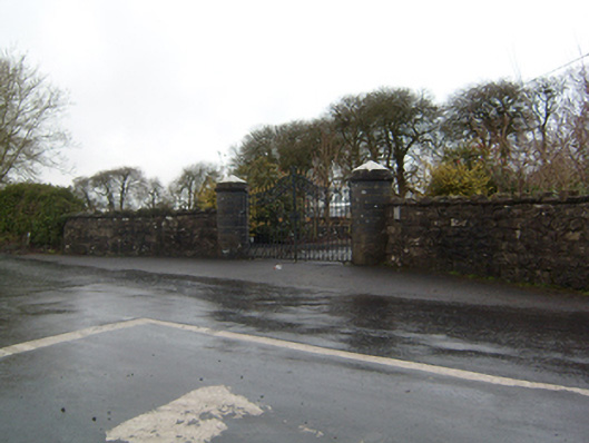 Cahermorris Housedemesne walls/gates/railings · 542 yd
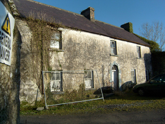 mill manager's housemill manager's house · 1574 yd
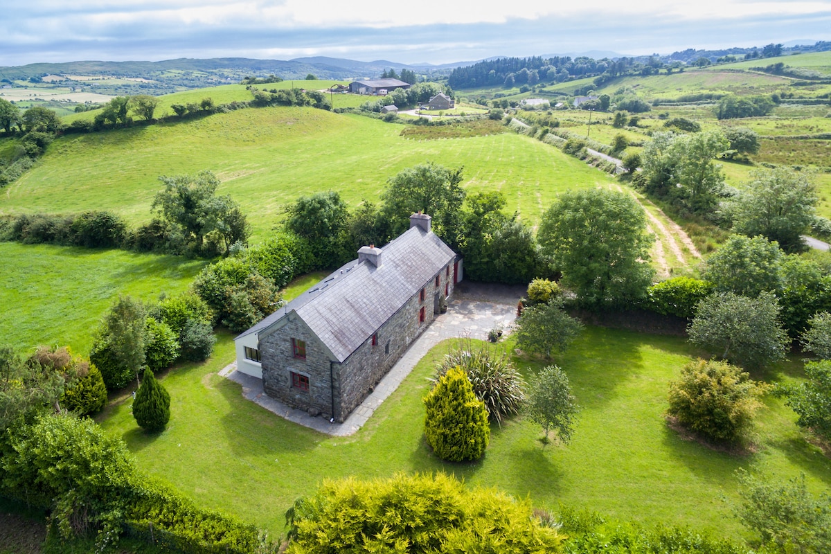 Enclosure in Bredagh (clare By.)Enclosure · 1.1 mi
 Kilcoona Round TowerHeritage attraction · 2.0 mi
 Castle in ruinsCastle, tower house · 2.2 mi
 Ballinduff BayBay · 3.0 mi
 Cregg Castle DemesneForest · 3.2 mi
 KnockmaaWood · 3.7 mi
 Oileán an AoilIsland · 5.0 mi
 Walsh's IslandIslet · 5.1 mi