
What is recorded here
Within a large enclosure (GA056-043001-). According to Nolan (1901a, 46), it was in existence in 1570 when it 'belonged to Burke of Castle Hackett': in 1574 it is listed as being in the possession of 'Mc Walters sept' (ibid. 1901b, 118). Named but not indicated on 1st ed. of OS 6-inch map: on 3rd ed. (1920), its site is marked in E sector of the enclosure. No visible surface trace survives in this area but there is a low circular stony mound (D 8m) in N sector in which large chunks of masonry are visible. Within it is a roughly rectangular hollow (N-S 3.5m, E-W 1.5m) in which faint traces of wall-faces are visible. Though it lies inside the line of the enclosure wall, this may be synonymous with the 'slight trace of a mortar-built gateway' mentioned by Westropp (1919, 182-3, 168).
The above description is derived from the published 'Archaeological Inventory of County Galway Vol. II - North Galway'. Compiled by Olive Alcock, Kathy de hÓra and Paul Gosling (Dublin: Stationery Office, 1999).
Date of upload: 05 August 2010
This monument is subject to a preservation order made under the National Monuments Acts 1930 to 2014 (PO no. 1/1991).
Cahermorris was held by the Burke of Castle Hackett in 1570 and later by the Mc Walters sept by 1574, reflecting the shifting control of territories among Gaelic families during the late 16th century. The site is important as a historical marker of local power dynamics in the period of English colonial expansion in Ireland.
The monument record does not grant public access. Check the route and ask the landowner before entering private land.
- What survives
- Recorded monument
Places near here
 CaherFairy fort / stone ringfort · 412 yd
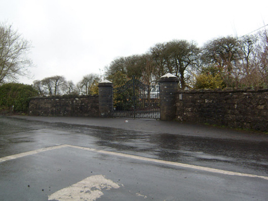 Cahermorris Housedemesne walls/gates/railings · 624 yd
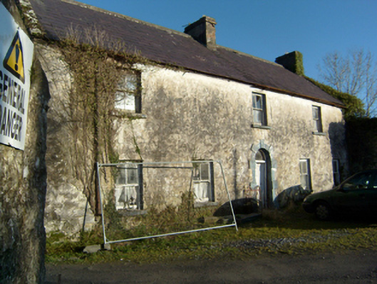 mill manager's housemill manager's house · 1626 yd
 Megalithic structure in BolisheenMegalithic structure · 1.2 mi
 Kilcoona Round TowerHeritage attraction · 2.0 mi
 Castle in ruinsCastle, tower house · 2.2 mi
 Site of Castle CreevyCastle, unclassified · 2.4 mi
 Ballinduff BayBay · 3.1 mi
 Cregg Castle DemesneForest · 3.2 mi
 KnockmaaWood · 3.8 mi
 Oileán an AoilIsland · 5.1 mi
 Walsh's IslandIslet · 5.2 mi
Other information
Photo: Credit not shown in the picture search · Rights wording not checked; contact us if this picture should be removed