What is recorded here
Caherawoneen North holds a faded forty-four metre ring where forgotten hands stacked stone before forgetting returned. A field wall now crosses the ancient boundary, and a ruined line cuts the interior, suggesting the fort served several lives before it became a boundary for others. The upright slabs at the eastern gap still mark a choice made long ago: enter, or walk past. What the mound and kerbing guarded is no longer certain, but the shape remains clear enough to imagine the door swinging open in ordinary weather.
In level pastureland. Very poorly preserved circular cashel (diam. 44m) defined by a collapsed
drystone wall. A field wall overlies the enclosing element from NW through N to SE. A possible entrance gap at NE is marked by a number of upright slabs. A ruined field wall, running N-S, cuts through W half of the interior. A low mound, with traces of kerbing at NW and S, lies to the SE of it.
Compiled by: Galway Archaeological Survey, UCG
Date of upload: 9 January 2017
The monument record does not grant public access. Check the route and ask the landowner before entering private land.
- What survives
- Recorded monument
Places near here
 IndicatedFairy fort / stone ringfort · 1.0 mi
 farm housefarm house · 1.1 mi
 Doansheedy FortFairy fort / earthen ringfort · 1.2 mi
 Maryville Househouse · 1.5 mi
 Dungory Castle (in ruins)Castle, tower house · 1.6 mi
 Dunguaire CastleCastle · 1.6 mi
 Drumharsna CastleHeritage attraction · 1.9 mi
 Mulroney's IslandIslet · 2.7 mi
 Cusheen IslandIslet · 3.0 mi
 European BeechEuropean Beech · 3.6 mi
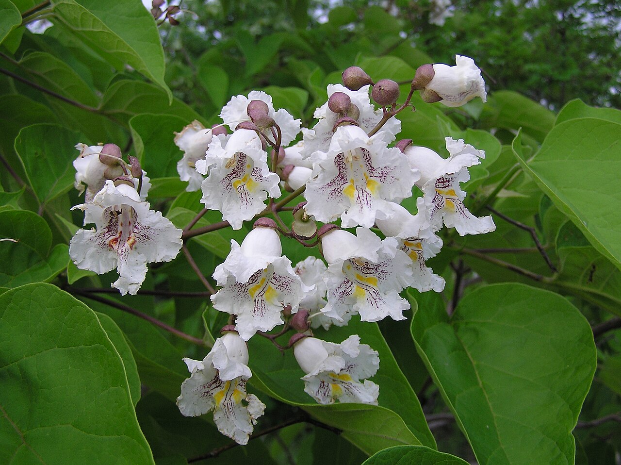 Southern catalpaSouthern catalpa · 3.7 mi
 Drumacoo Monastic SiteHeritage attraction · 4.2 mi