What is recorded here
No. of entry: 251 Name of townland: Caherawoneen North Name of inhabited townland: Caherawoneen Name of barony: Name of parish: Name of poor law union: Name of county: Galway Description of monument: Marked on the 1838 edition of the OS 6-inch map as a circular enclosure (diam. c. 25m). On inspection in November 1982 this area of rocky scrubland was densely overgrown with beech trees and
Marked on the 1838 edition of the OS 6-inch map as a circular enclosure (diam. c. 25m). On inspection in November 1982 this area of rocky scrubland was densely overgrown with beech trees and briars. No visible surface trace of the monument survived. A small arc of upright flat limestone boulders was noted in the undergrowth immediately to the SW of the site. Current aerial imagery (Google 2019) indicates that this area has been subsequently cleared of overgrowth.
Compiled by: Olive Alcock
Date of upload: 19 July 2019
The monument record does not grant public access. Check the route and ask the landowner before entering private land.
- What survives
- Recorded monument
Places near here
 IndicatedFairy fort / stone ringfort · 1054 yd
 farm housefarm house · 1079 yd
 Doansheedy FortFairy fort / earthen ringfort · 1623 yd
 Dungory Castle (in ruins)Castle, tower house · 1.3 mi
 Dunguaire CastleCastle · 1.3 mi
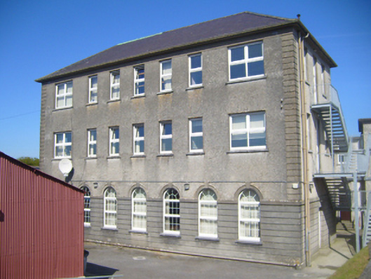 Seamount Collegehouse · 1.6 mi
 Mulroney's IslandIslet · 2.4 mi
 Cusheen IslandIslet · 2.7 mi
 European BeechEuropean Beech · 3.8 mi
 Coole-Garryland Nature ReserveNature reserve · 3.8 mi
 Drumacoo Monastic SiteHeritage attraction · 4.4 mi
 Traught BeachBeach / strand · 4.5 mi