What is recorded here
Bofickil holds a collapsed stone ringfort where a man-made passage descends into the earth beneath rough grazing. The western wall still stands one metre thirty high, but the eastern section has fallen and been rebuilt, suggesting the site remained active long after its first construction. The underground chamber may have served storage, refuge or ritual, yet no human body or dated artifact has emerged to confirm which. What is certain is that someone cut through solid rock to create a hidden room inside an open fort, doubling the place instead of finishing it.
In rough grazing broken by rock outcrop, on break in NW-facing slope. Roughly circular area (25.3m N-S; 27m E-W) enclosed by collapsed stone wall; original facing survives to W (H 1.3m; Wth 2m); rebuilt to SE. Man-made underground passage (CO102-01602-) in interior.
The above description is derived from the published 'Archaeological Inventory of County Cork. Volume 1: West Cork' (Dublin: Stationery Office, 1992). In certain instances the entries have been revised and updated in the light of recent research.
Date of upload/revision: 14 January 2009
The monument record does not grant public access. Check the route and ask the landowner before entering private land.
- What survives
- Recorded monument
Places near here
 Man-made underground passage in BofickilMan-made underground passage · 1 yd
 Wedge tomb in BofickilWedge tomb · 770 yd
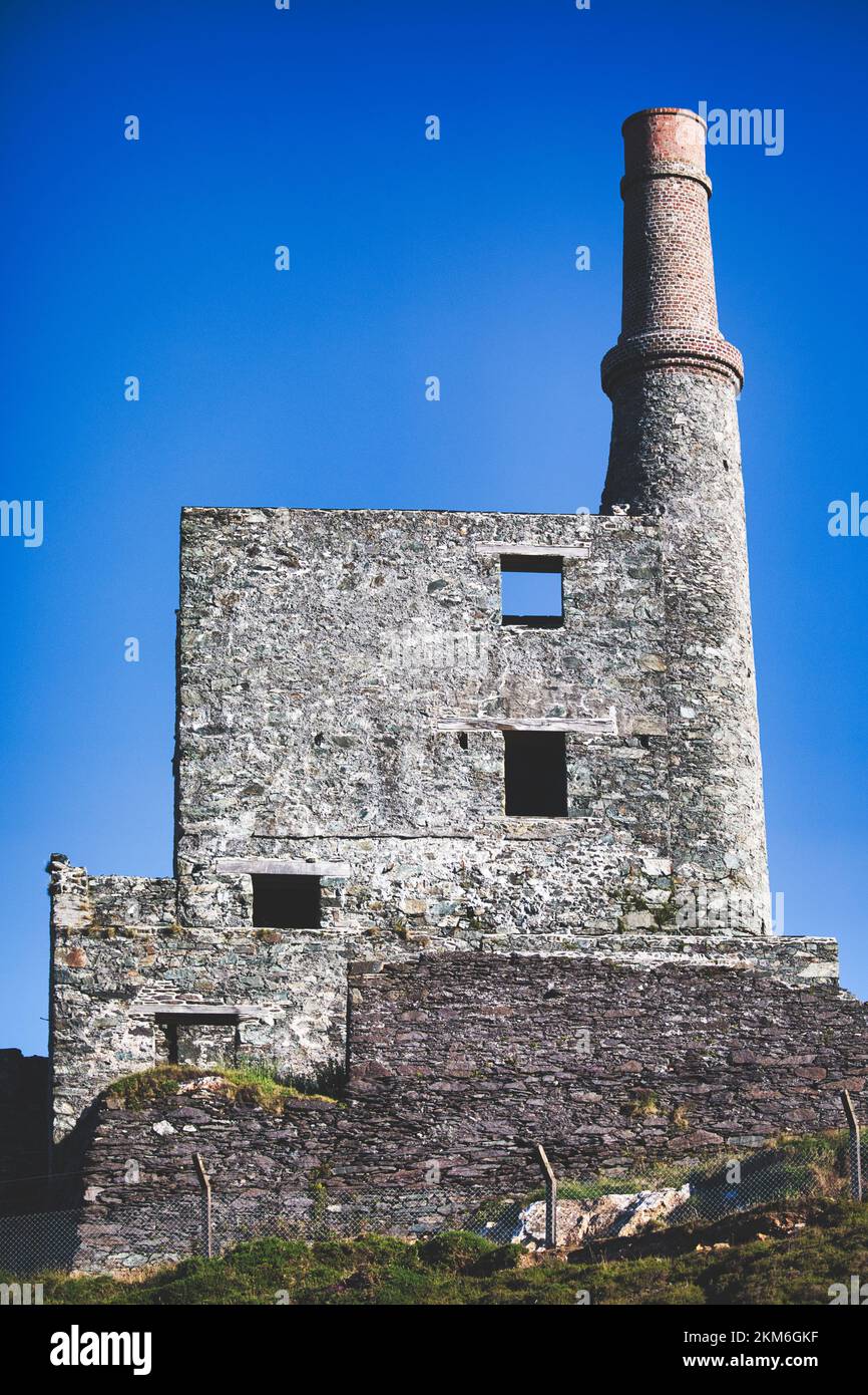 MineMine, copper · 870 yd
 Wild Atlantic WayVisitor information · 918 yd
 coastguard stationcoastguard station · 1067 yd
 Eyeries - Coastguard Station LoopWalking route · 1.2 mi
 CarrigleamoreIslet · 1.3 mi
 Eyeries - Creha Quay LoopWalking route · 1.4 mi
 Eyeries IslandIslet · 1.5 mi
 GortbrackMountain / peak · 1.8 mi
 Pallas StrandBeach / strand · 1.9 mi
 TrabaneBeach / strand · 2.0 mi