What is recorded here
Situated at the outer edge of a rock outcrop terrace on a W-facing slope. This is a grass-covered but uneven circular area (diam. 43m N-S; 41.6m ENE-WSW) with some rock outcrop defined by a stone wall or stone-faced bank (Wth 2-3.1m; int. H 1-1.7m; ext. H 1.3-1.4m) that has a drystone wall on top of it NW-SE and SW-W, and the drystone wall replaces the original permeter WNW-NW. There is an entrance (Wth 1.6m) at W, which is probably original. A T-shaped depression, consisting of a narrow channel (dims 10.3m N-S; 2m E-W; max. D 0.7m) with a short central spur (dims 2.8m E-W; 3m N-S; max. D 0.8m) extending E is SW of the centre and is probably a destroyed Man-made underground passage. Revised by: Michael Moore
Date of revision: 30 January 2018
Situated at the outer edge of a rock outcrop terrace on a W-facing slope. This is a grass-covered but uneven circular area (diam. 43m N-S; 41.6m ENE-WSW) with some rock outcrop defined by a stone wall or stone-faced bank (Wth 2-3.1m; int. H 1-1.7m; ext. H 1.3-1.4m) that has a drystone wall on top of it NW-SE and SW-W, and the drystone wall replaces the original permeter WNW-NW. There is an entrance (Wth 1.6m) at…
From the National Monuments Service (Archaeological Survey of Ireland) record MO027-038
The monument record does not grant public access. Check the route and ask the landowner before entering private land.
- What survives
- Recorded monument
Places near here
IndicatedCrannog · 1105 yd mill (water)1.2 miFarm HillFarmyard complex · 1.2 miRock IslandIslet · 1.9 miTobernagalliaghSpring · 3.3 miFincarn HillMountain / peak · 3.5 miRaferaghMountain / peak · 3.9 miWedge tomb in LisnadarraghWedge tomb · 4.0 miMannan Castle (in ruins)Castle, Anglo-Norman masonry castle · 4.7 miBush IslandIslet · 4.8 miHorse-chestnut4.9 miEuropean Beech5.5 mi
 mill (water)1.2 mi
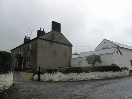 Farm HillFarmyard complex · 1.2 miRock IslandIslet · 1.9 miTobernagalliaghSpring · 3.3 miFincarn HillMountain / peak · 3.5 miRaferaghMountain / peak · 3.9 mi
 Wedge tomb in LisnadarraghWedge tomb · 4.0 mi
 Mannan Castle (in ruins)Castle, Anglo-Norman masonry castle · 4.7 mi
 Bush IslandIslet · 4.8 mi
 Horse-chestnut4.9 mi
 European Beech5.5 mi
Pictures: National Inventory of Architectural Heritage; Wanfried-Dublin, Wikimedia Commons · CC BY-SA 4.0; Kieran Campbell, Geograph · CC BY-SA 2.0; Oliver Dixon, Geograph · CC BY-SA 2.0; Stephan van Helden, Wikimedia Commons · CC BY-SA 4.0; Malene Thyssen, Wikimedia Commons · CC BY-SA 3.0
More archaeology and monuments in County Monaghan · All of County Monaghan
What do you know about this place?