What is recorded here
That is all the evidence available. An unknown fort stands 300m from Barnaderg Castle, reduced to a 3.5m collapsed arc after measuring fifty metres across. The missing structure may have been a home, a boundary marker or a forgotten ritual site.
Some 300m SW of Barnaderg Castle (GA044-018----). Marked on 3rd ed. of OS 6-inch map (1932) as a circular enclosure (D c. 50m). All that survives is an arc of a collapsed drystone wall (Wth 3.5m) from SSW to NW; no visible surface trace survives elsewhere. A field boundary radiates from the monument at NW, and a field wall cuts it at SSW.
The above description is derived from the published 'Archaeological Inventory of County Galway Vol. II - North Galway'. Compiled by Olive Alcock, Kathy de hÓra and Paul Gosling (Dublin: Stationery Office, 1999). In certain instances the entries have been revised and updated in the light of recent research.
Updated by: Olive Alcock
Date of revised upload: 23 July 2015
The monument record does not grant public access. Check the route and ask the landowner before entering private land.
- What survives
- Recorded monument
Places near here
 Field system in Barnaderg NorthField system · 293 yd
 Barnaderg CastleCastle · 351 yd
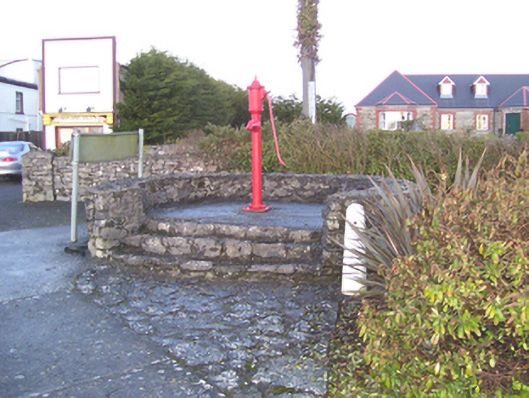 water pumpwater pump · 1088 yd
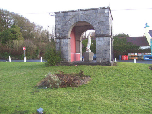 monumentmonument · 1105 yd
 IndicatedSweathouse · 1.4 mi
 Knockmoy AbbeyHeritage attraction · 2.9 mi
 Castle (in ruins)Castle, tower house · 4.1 mi
 European ashEuropean ash · 7.6 mi
 Menlough IRAMemorial · 7.9 mi
 Mass RockNamed rock · 8.8 mi
 KnockmaaWood · 9.4 mi
 Killererin Church (in Ruins)Church · 1179 yd