What is recorded here
Barnaderg North held a forty-metre stone ring beside the castle, but a modern house now sits upon its remains. Men called it a fairy fort because the field angles still refuse easy sense. What the ring kept from others has never stopped keeping itself from everyone.
In rolling grassland, 250m NW of Barnaderg Castle (GA044-018----). Marked on 3rd ed. of OS 6-inch map (1932) as a circular enclosure (D c. 40m). Aerial reconnaissance in July 1970 (CUCAP K17 W 57-9) revealed a low bank in the interior, probably an internal division. Only a low platform now survives as a modern house occupies the monument. A field system (GA044-015----) lies to SW and W. (Norman and St Joseph 1969, 4-5)
The above description is derived from the published 'Archaeological Inventory of County Galway Vol. II - North Galway'. Compiled by Olive Alcock, Kathy de hÓra and Paul Gosling (Dublin: Stationery Office, 1999).
Date of upload: 05 August 2010
The monument record does not grant public access. Check the route and ask the landowner before entering private land.
- What survives
- Recorded monument
Places near here
 Field system in Barnaderg NorthField system · 126 yd
 Barnaderg CastleCastle · 273 yd
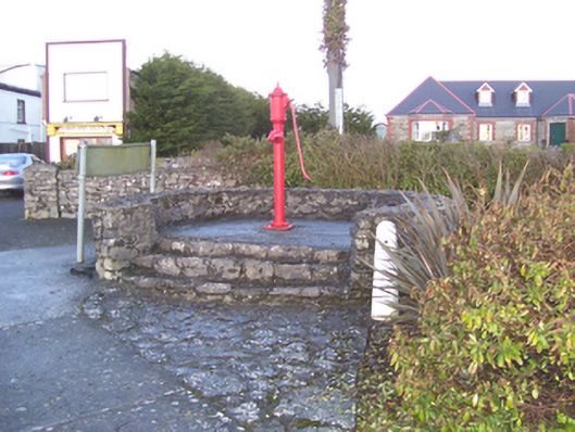 water pumpwater pump · 1143 yd
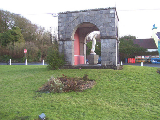 monumentmonument · 1171 yd
 IndicatedSweathouse · 1.4 mi
 Knockmoy AbbeyHeritage attraction · 3.1 mi
 Castle (in ruins)Castle, tower house · 4.0 mi
 European ashEuropean ash · 7.6 mi
 Menlough IRAMemorial · 7.9 mi
 Mass RockNamed rock · 8.8 mi
 KnockmaaWood · 9.5 mi
 Killererin Church (in Ruins)Church · 1499 yd