What is recorded here
No fairies are recorded there. The idea may be a human projection, but the ring is real: a shallow stone enclosure on an open slope, partly built, partly exposed rock, still marking the ground after centuries. Its size and shape suggest people lived or worked inside it, not gods. The fairy label is a story told later, not a fact hidden in the stones.
On a gentle S-facing slope in pasture with commanding views. Some natural rock outcrop occurs in the field. Hachured as a circular enclosure on the 1842 and 1920 OS 6-inch maps. Listed as 'Enclosure' in the SMR (1992) and the RMP (1996). A circular area (int. diam. 23m E-W; 22m N-S) defined by a wall (Wth 2m; int. H 0.1m; ext. H 0.2m) at W and elsewhere by a low stone spread (at E: Wth 3m; int. H 0.25m; ext. H 0.7m) although at S the enclosing element has been reduced to an external scarp (H 1.3m). There is some internal stone-facing at W and external stone-facing is evident at W and N. Existing rock outcrop may have been used in part as the enclosing element. An overgrown mound occurs in the S sector.
Compiled by: Mary Tunney
Date of upload: 13 October 2020
The monument record does not grant public access. Check the route and ask the landowner before entering private land.
- What survives
- Recorded monument
Places near here
 Enclosure in BallyalliaEnclosure · 706 yd
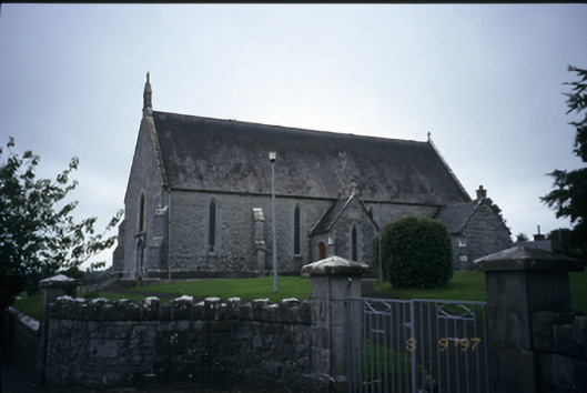 Catholic Church of the Immaculate Conceptionchurch/chapel · 849 yd
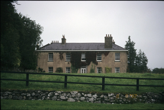 Ballyallia Housecountry house · 1064 yd
 Enclosure in Derry (bunratty Upper By.)Enclosure · 1709 yd
 Ardcarney WoodWood · 1.2 mi
 CastleCastle, ringwork · 2.0 mi
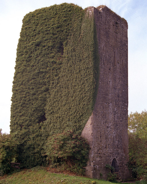 Ballygriffy CastleCastle · 2.1 mi
 Ballygriffy WoodWood · 2.3 mi
 Ennis AbbeyMuseum · 2.8 mi
 Clare MuseumMuseum · 2.9 mi
 Battle of TullyodeaBattlefield · 4.1 mi
 G.A.A. Commemorative StoneMemorial · 4.8 mi