What is recorded here
No visible trace remains of the ringfort at Ballymore. The earth has taken back the stones, erasing the boundary between human making and natural decay. What was built has become landscape again, indistinguishable from the ground that swallowed it.
At NW end of a ridge in rough pastureland. Very poorly preserved circular cashel (diam. 34.5m) defined by a collapsed drystone wall from SW through N to NE. The SE quadrant has been bulldozed away and the resulting rubble now forms a meandering field wall, which runs through the interior from NE to NW. A low scarp indicates the former line of the wall from NE through S to SW. A gap (Wth c. 7m) at S may indicate the original entrance as traces of a raised causeway extend from here for c. 10m to S. In N half of the interior are the foundations of a rectangular structure (7.6m E-W; 4m N-S; H 0.3m); possibly the remains of the roofed building shown on 1st ed. of OS map.
Compiled by: Galway Archaeological Survey, UCG
Date of upload: 4 January 2017
The monument record does not grant public access. Check the route and ask the landowner before entering private land.
- What survives
- Recorded monument
Places near here
 Enclosure in Ballymore (killeenavarra By.)Enclosure · 457 yd
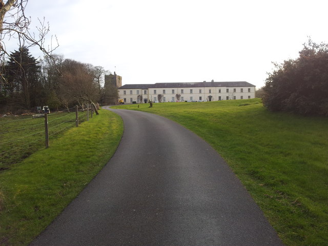 Cloghballymore Ho.House, 18th/19th century · 1021 yd
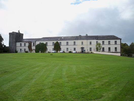 Cloghballymore Housecountry house · 1078 yd
 CrossCross · 1425 yd
 Dungory Castle (in ruins)Castle, tower house · 2.1 mi
 Dunguaire CastleCastle · 2.1 mi
 Drumacoo Monastic SiteHeritage attraction · 2.3 mi
 Mulroney's IslandIslet · 2.3 mi
 Cusheen IslandIslet · 2.5 mi
 Traught BeachBeach / strand · 3.8 mi
 Mweenish PointHeadland · 4.0 mi
 Kilcornan ForestWood · 4.5 mi