What is recorded here
Clear the grass at Ballymore and the forgotten fort returns: a thirty-four metre ring of edge-set stones, with two broad stone chambers beside it. That is all the survey preserves, yet the shape is plain enough to walk. People built a defensible home and lived beside it, then left the field open to pasture. The grass has taken back the line, but the chamber ratios and ring diameter still belong to human hands, not fantasy.
In recently cleared pastureland. Classified by McCaffrey (1952, 178, no. 104a) as a circular ‘Stone fort’ (diam. c. 33.8m) defined by a drystone wall, which was ‘composed of two faces of blocks set on edge’. Immediately to the E of the cashel were ‘the remains of two stone houses [GA103-015001-; GA103-015002-] 40’ x 38’ [c. 12.2m by c. 11.6m] overall’. No visible surface trace survives of the cashel or the houses.
Compiled by: Galway Archaeological Survey, UCG
Date of upload: 4 January 2017
The monument record does not grant public access. Check the route and ask the landowner before entering private land.
- What survives
- Recorded monument
Places near here
 Enclosure in Ballymore (killeenavarra By.)Enclosure · 518 yd
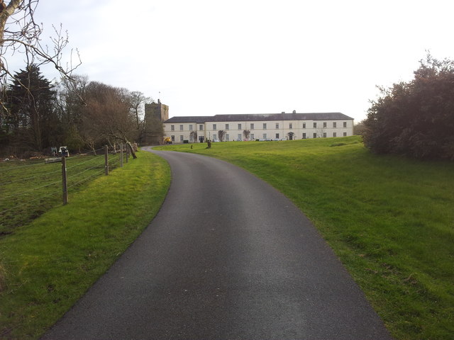 Cloghballymore Ho.House, 18th/19th century · 546 yd
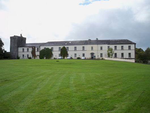 Cloghballymore Housecountry house · 607 yd
 CrossCross · 1393 yd
 Drumacoo Monastic SiteHeritage attraction · 2.0 mi
 Dungory Castle (in ruins)Castle, tower house · 2.3 mi
 Dunguaire CastleCastle · 2.3 mi
 Mulroney's IslandIslet · 2.4 mi
 IllananireyIslet · 2.5 mi
 Traught BeachBeach / strand · 3.7 mi
 Mweenish PointHeadland · 3.8 mi
 Kilcornan ForestWood · 4.2 mi