What is recorded here
Situated on top of an E-W ridge in an upland area with a nearby ringfort (TN007-005) visible to the NE. A circular area (diam. 32m N-S) enclosed by a bank of mainly stone construction (Wth. 1.5m; H 0.3-0.5m) with no entrance feature visible. Natural rock outcrop protrudes from the surface of the interior.
The above description is derived from 'The Archaeological Inventory of County Tipperary. Vol. 1 - North Tipperary' compiled by Jean Farrelly and Caimin O'Brien (Dublin: Stationery Office, 2002). In certain instances the entries have been revised and updated in the light of recent research.
Date of upload/revision: 22 September 2008
The monument record does not grant public access. Check the route and ask the landowner before entering private land.
- What survives
- Recorded monument
Places near here
 Enclosure in BallyhaughEnclosure · 117 yd
 Ballyhaugh Castle (in ruins)Castle, tower house · 886 yd
 Enclosure in BallycormuckEnclosure · 888 yd
 Church (in Ruins), Grave YdChurch · 992 yd
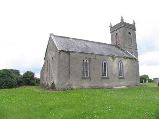 Aglish Church (Aghlishcloghane)church/chapel · 993 yd
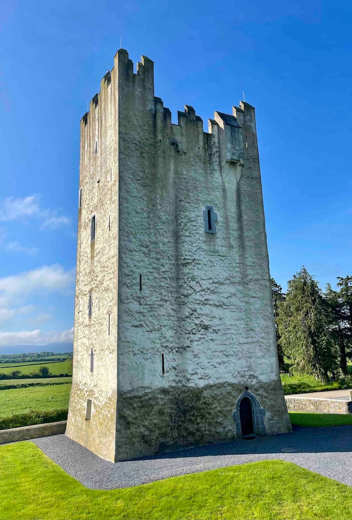 Kilfadda Castle (in ruins)Castle, Anglo-Norman masonry castle · 1.3 mi
 Borris WoodWood · 3.1 mi
 Slevoir BayBay · 4.0 mi
 Lumcloon WoodWood · 4.5 mi
 Hayes IslandIsland · 5.1 mi
 Roger's IslandIslet · 5.3 mi
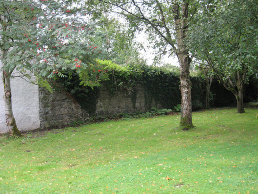 Portumna Castlewalled garden · 5.7 mi