What is recorded here
Fairy fort in Ballyglass, County Leitrim: a grass-covered stone ring about 24m wide, with a drystone wall, shallow ditch and causewayed entrance on a ridge col overlooking two valleys. It may have been a small stronghold, a boundary marker or a place people returned to when the land changed. The underground passage inside suggests the fort still hides more than its broken wall admits.
Located in a slight col of a N-S outcrop ridge, overlooking the head of a S-N valley just to the W and with a steeper valley to the E. Grass-covered subcircular area (int. dims 24m E-W; 20.5m N-S) defined by a drystone wall (at S: Wth 3.1m; int. H 0.6m; ext. H 0.6m), with internal and external facing-stones and some bushes, which is reduced to a stony scarp W-NW and is absent at N. There is an external fosse or ditch (Wth 1.8m; D 0.25m) E-S and a causewayed entrance (Wth 1.2m) at SSE. Man-made underground passage (LE007-039002-) is in the interior.
The above description is derived from 'The Archaeological Inventory of County Leitrim' compiled by Michael J. Moore (Dublin: Stationery Office, 2003). In certain instances the entries have been revised and updated in the light of recent research.
Date of upload: 23 September 2008
The monument record does not grant public access. Check the route and ask the landowner before entering private land.
- What survives
- Recorded monument
Places near here
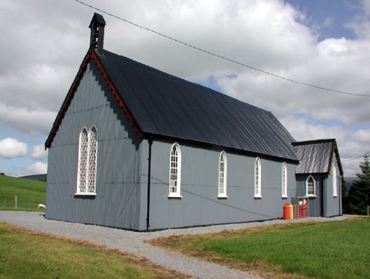 Lurganboy Church (Killasnet)church/chapel · 796 yd
 Old Barrack YardBastioned fort · 824 yd
 Church (in Ruins)Church · 1206 yd
 Not inidcatedEnclosure · 1397 yd
 Ashisland WoodForest · 1424 yd
 Longhill WoodForest · 1567 yd
 Castle CarCastle · 1.3 mi
 Kilroosk RockNamed rock · 2.1 mi
 Giants RockNamed rock · 2.1 mi
 BenboMountain / peak · 2.2 mi
 The Giants GraveArchaeological place · 3.6 mi
 Agow TopMountain / peak · 3.7 mi