What is recorded here
Dooneen Island rises from Lough Adoon like a forgotten chamber, its shallow eastern approach inviting footsteps across water no deeper than a man's knee. The drystone wall curves along the shore, thick enough to hold back more than men, while precipices up to 1600 feet watch from every other side. People may have built the ringfort to keep out invaders, or they may have walled off a place the mountains already refused to share. Either way, the island still keeps its distance, offering entry only to those who wade in and leave before dark.
Dooneen Island is located in the middle of Lough Adoon, a corrie lake cut deep into the N side of the Ballysitteragh-Beenoskee mountain range and surrounded to E, W and S by steep precipices up to 1600 feet/488m high. The island is easily accessible from the E where only a shallow stretch of water, 30m wide and no more than .4m deep, separates it from the mainland. On this E side the island is defended by a drystone wall set back a maximum of 3.5m from the waters edge. Following the natural curve of the shore line, the wall extends for about 50m and runs out into the water at either end. Though collapsed at its N and S ends, the wall is, for the most part, well preserved, being a maximum of 2m high and an average of 2.5m wide. The centrally-placed entrance is c. 1.4m wide. About 8m N of the entrance is a small roughly-constructed recess which is possibly not an original feature of the site. For a distance of 6m to N of this the wall-footing projects an average of .25m beyond the inner wall face. The wall may have continued for a short distance along the S side of the island, since a short stretch of wall-facing, 1m long and .4m high, is visible here. There is no evidence to suggest that the remainder of the island was similarly defended.
The above description is derived from J. Cuppage, ‘Corca Dhuibhne. Dingle Peninsula archaeological survey. Ballyferriter. Oidhreacht Chorca Dhuibhne’ (1986), no. 1518. In certain instances the entries have been revised and updated in the light of recent research.
Date of upload: 5 August 2013
The monument record does not grant public access. Check the route and ask the landowner before entering private land.
- What survives
- Recorded monument
Places near here
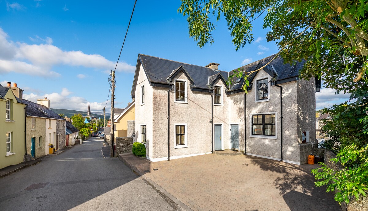 Enclosure in Baile Uí UaithnínEnclosure · 567 yd
 Enclosure in Loch An DúinEnclosure · 829 yd
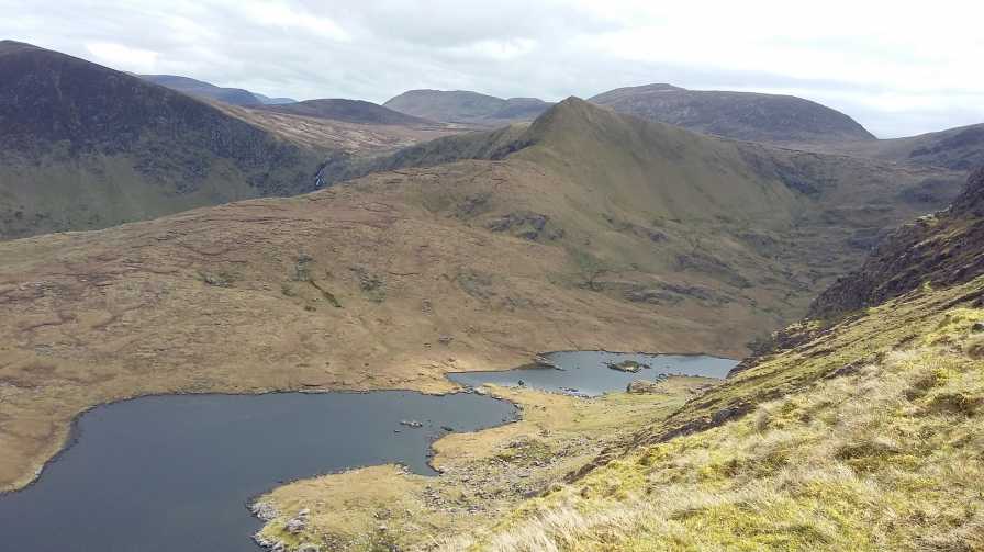 An StarraicínMountain / peak · 835 yd
 Sliabh na nGabharMountain / peak · 1144 yd
 Church in Cill An UrdráinChurch · 1.5 mi
 Maughanablagher CliffsCliff · 2.0 mi
 An ChonairViewpoint · 2.6 mi
 Séipéal Bhréanainn [Saint Brendan's Catholic Church]church/chapel · 2.8 mi
 Drom BeachBeach / strand · 2.8 mi
 Hillville WoodWood · 3.1 mi
 Site of CastleCastle, unclassified · 3.2 mi
 An t'Oileán DubhIslet · 3.5 mi