What is recorded here
Half a ring of forgotten stone still holds the edge of a seven-metre cliff, while grass and time have swallowed the rest. The fort faces the Ray river like a chair pulled up to a table nobody remembers setting. Its missing wall may be buried, broken or never finished, but the preserved half still points toward water and light.
Internal diam. c. 20m. This site is very ruined and appears as a low grassed-over, stony platform c. 0.5m high with traces of a low perimeter bank c. 0.2m high. It appears to have formed a semi-circle on plan, a steep fall c. 7m in height marking its N edge. A modern stone field wall runs E-W close to the N limit of the site. It is not clear whether this is a stone or earthen enclosure although the former is more likely. It is in level grazing land overlooked by a gentle rise to the W. To the E the land slopes gently to the Ray river.
The above description was derived from the 'Archaeological Survey of County Donegal. A description of the field antiquities of the County from the Mesolithic Period to the 17th century.' Compiled by: Brian Lacey with Eamon Cody, Claire Cotter, Judy Cuppage, Noel Dunne, Vincent Hurley, Celie O'Rahilly, Paul Walsh and Seán Ó Nualláin (Lifford: Donegal County Council, 1983). In certain instances the entries have been revised and updated.
Date of upload: 22 September 2008
The monument record does not grant public access. Check the route and ask the landowner before entering private land.
- What survives
- Recorded monument
Places near here
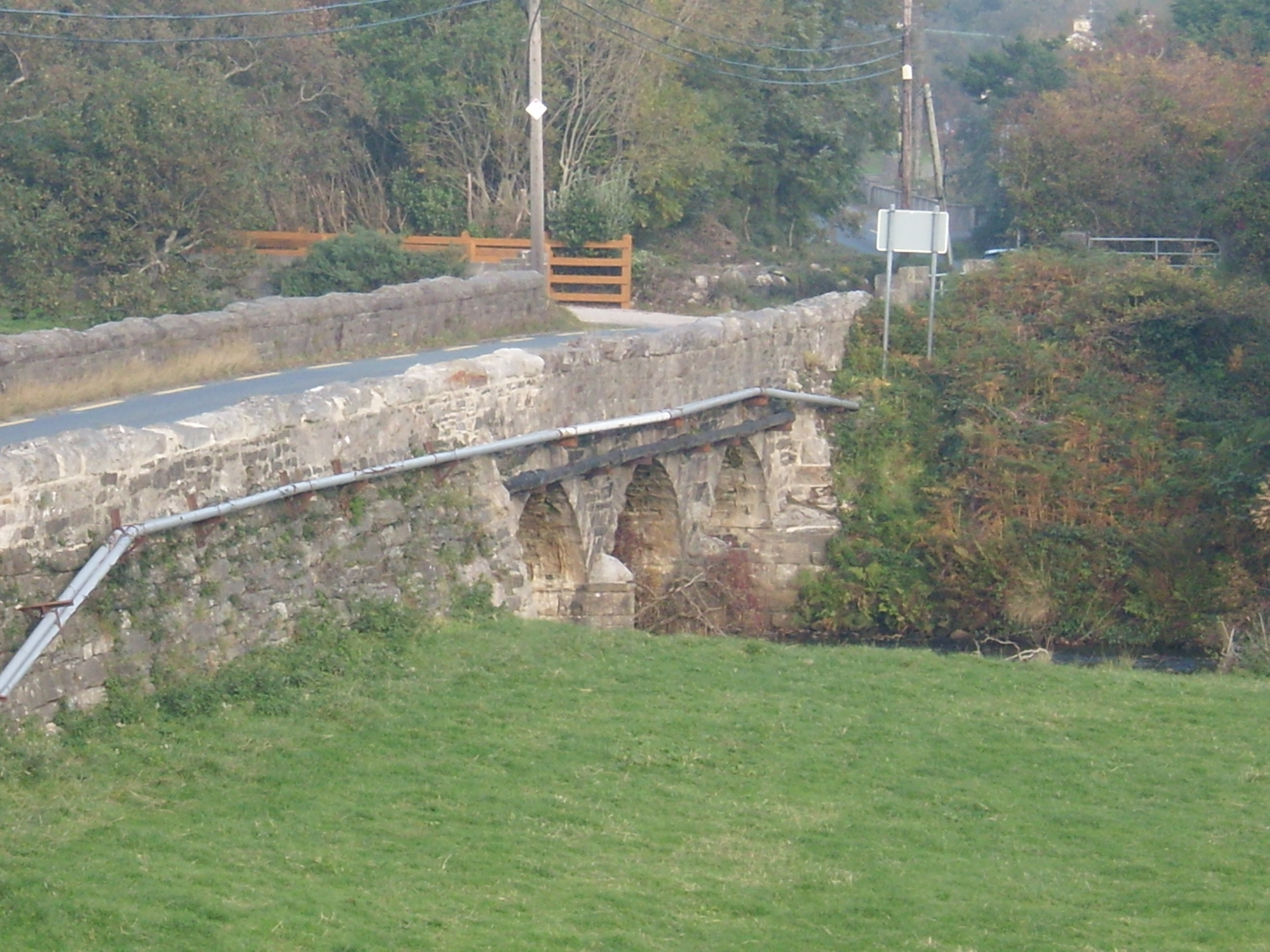 Drumavoghy Bridgebridge · 723 yd
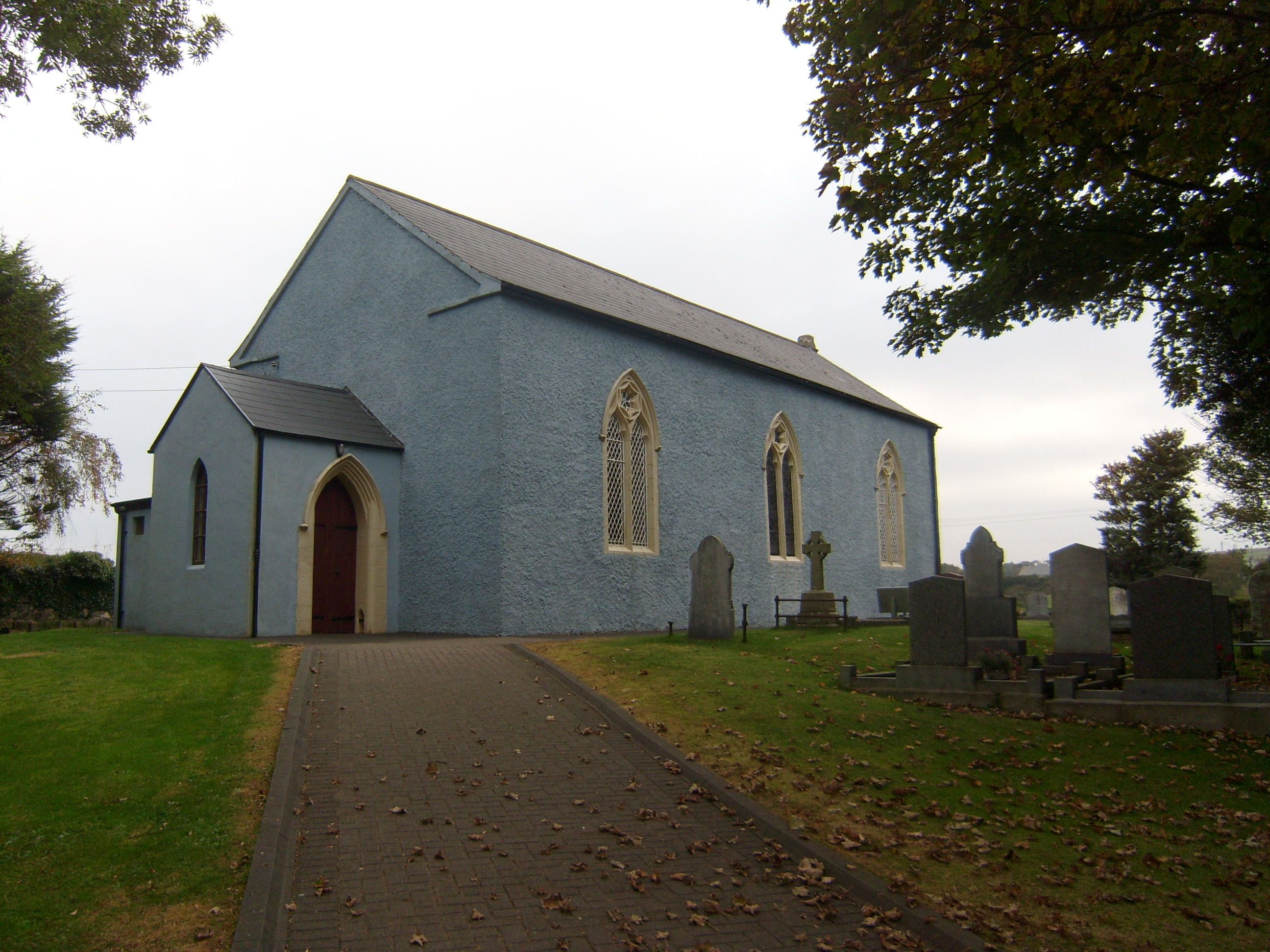 Saint Paul's Church (Raymunterdoney)church/chapel · 873 yd
 Cashelmacadowan FortFairy fort / stone ringfort · 1162 yd
 Enclosure in An Cheathrú CheanainnEnclosure · 1390 yd
 Monterey CypressMonterey Cypress · 1658 yd
 Wych ElmWych Elm · 1708 yd
 Castle Bawne (in Ruins)Bawn · 1.7 mi
 Trá Dhroim na TineBeach / strand · 1.8 mi
 DrumnatinnyOfficial bathing water · 2.0 mi
 MuckishMountain / peak · 3.8 mi
 The Bridge of TearsMemorial · 4.1 mi
 Boys IslandIslet · 4.1 mi