What is recorded here
Fairy fort in Tristaun, County Galway: a shallow circular scar in grass, 30 metres long and 26.5 metres wide, with a six-metre gap facing south-southeast. The ridge stands two hundred metres from the Ballinure River, high enough to watch the water and far enough from it to keep dry. People may have lived there before the shape faded, or the fairies may have taken the house back and left only its shadow in the grass.
On a ridge in undulating grassland 200m SE of the Ballinure River. Poorly preserved subcircular rath (N-S 30m, E-W 26.5m) defined by a scarp. A gap (Wth 6m) at SSE could be original.
The above description is derived from the published 'Archaeological Inventory of County Galway Vol. II - North Galway'. Compiled by Olive Alcock, Kathy de hÓra and Paul Gosling (Dublin: Stationery Office, 1999).
Date of upload: 05 August 2010
The monument record does not grant public access. Check the route and ask the landowner before entering private land.
- What survives
- Recorded monument
Places near here
 IndicatedFairy fort / earthen ringfort · 704 yd
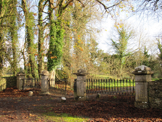 Liskelly Housedemesne walls/gates/railings · 896 yd
 The bloody HollowHeritage attraction · 923 yd
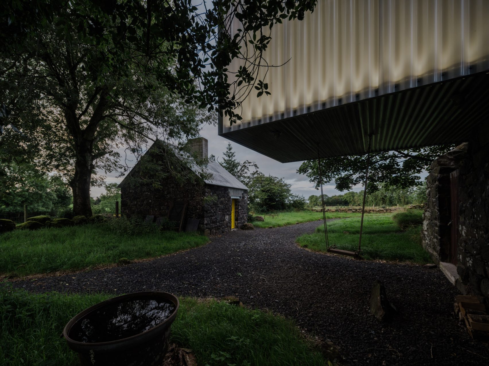 Enclosure in TristaunEnclosure · 1145 yd
 Battle of AughrimMajor battlefield · 1395 yd
 Urraghry HillMountain / peak · 1.1 mi
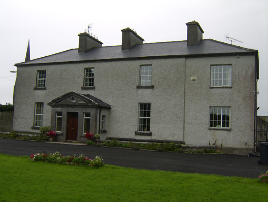 The Rectoryrectory/glebe/vicarage/curate's house · 1.3 mi
 Ballagh Castle (in Ruins)Castle, unclassified · 1.3 mi
 Battle of Aughrim Interpretative CentreMuseum · 1.4 mi
 Castle (Site of)Castle, Anglo-Norman masonry castle · 1.5 mi
 Oak WoodWood · 2.3 mi
 West WoodWood · 2.6 mi