What is recorded here
Fairy fort in Tristaun, County Galway: a 26m circular rath, 150m from a ringfort, its overgrown bank and shallow ditch partly cut by a field bank. The gap at the south-west may be the entrance, or may be where the field took its share. People may have lived there before the field came, or the field may have come first and taken the best of the place.
Some 150m NNW of a ringfort (GA087-214----). Poorly preserved almost circular rath (N-S 26m, E-W 25.5) defined by an overgrown bank and external fosse from SSE through S to W. Elsewhere a scarp and a slight external depression form the enclosing elements. Gap (Wth 5m) at SSW may be original. A field bank cuts the monument at NW and SW.
The above description is derived from the published 'Archaeological Inventory of County Galway Vol. II - North Galway'. Compiled by Olive Alcock, Kathy de hÓra and Paul Gosling (Dublin: Stationery Office, 1999).
Date of upload: 05 August 2010
The monument record does not grant public access. Check the route and ask the landowner before entering private land.
- What survives
- Recorded monument
Places near here
 LisleaArchaeological place · 866 yd
 Ballagh Castle (in Ruins)Castle, unclassified · 908 yd
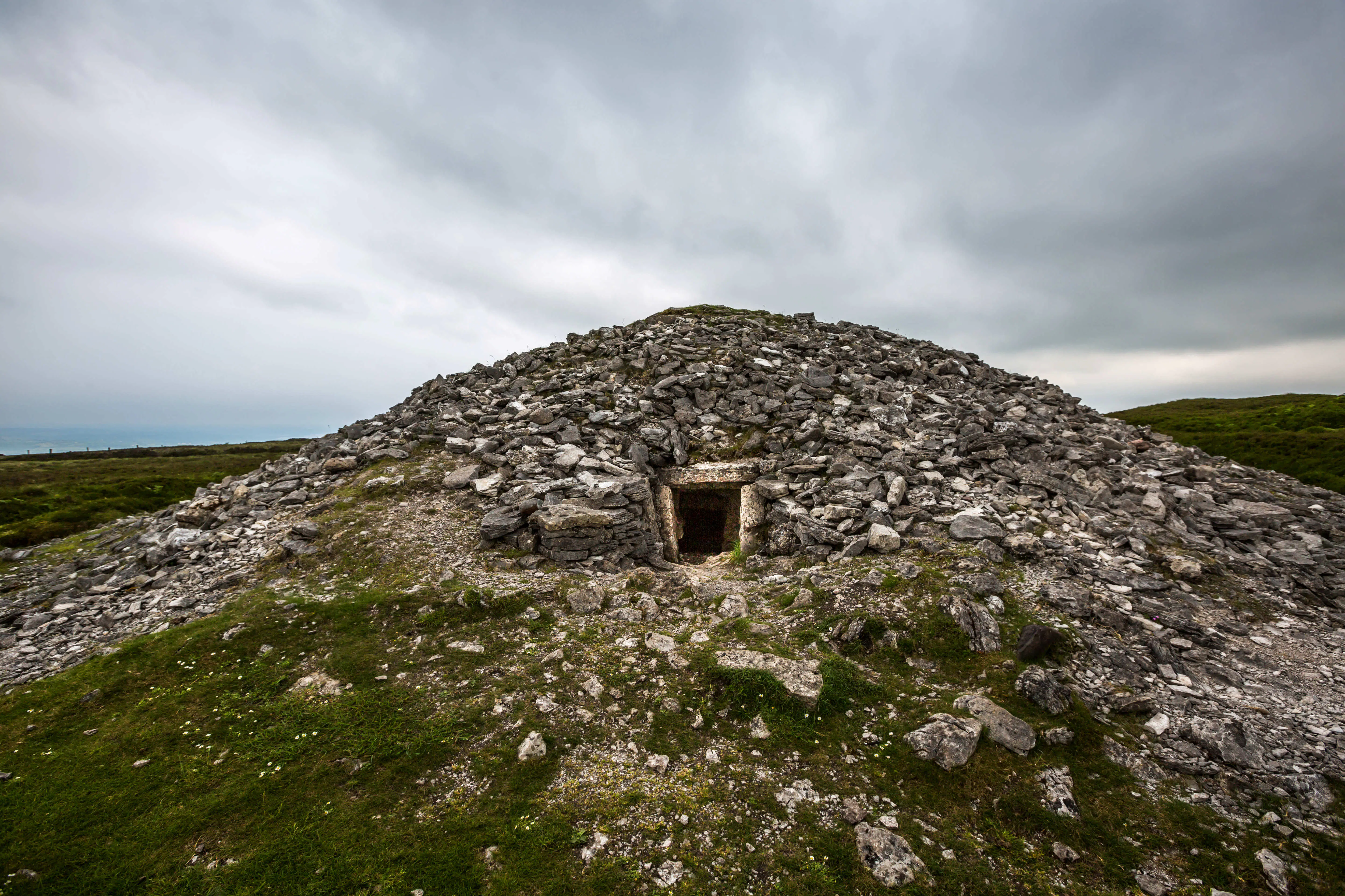 Quarry in Carrowkeel (clonmacnowen By.)Quarry · 1048 yd
 Enclosure in TempleparkEnclosure · 1204 yd
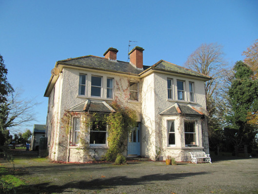 Garryduff Househouse · 1279 yd
 Urraghry HillMountain / peak · 1.6 mi
 The bloody HollowHeritage attraction · 2.1 mi
 European BeechEuropean Beech · 2.1 mi
 Battle of AughrimMajor battlefield · 2.4 mi
 European YewEuropean Yew · 2.4 mi
 Bawn in Cooltymurraghy (clonmacnowen By.)Bawn · 2.8 mi
 Battle of Aughrim Interpretative CentreMuseum · 2.8 mi