What is recorded here
Situated on NNE facing slope e of a ridge in undulating grassland with a good views from NW-NE. The road which marks the townland boundary with Clonkill lies 30m to E. Depicted as a circular shaped enclosure on the 1837 ed. OS 6-inch map but not indicated on subsequent editions of the OS maps. This monument has been largely levelled. Remains consist of a circular shaped area (approx. diam. 31m NW-SE; 35m NE-SW; H 0.6m) defined by a scarp and enclosed by a wide, shallow fosse (Wth 4.4m; D 0.25m) that is only visible from ESE-S. A field fence running NE-SW intersects the S perimeter of the monument.
Compiled by: Frank Coyne and Caimin O'Brien
Date of upload: 12 March 2018
The monument record does not grant public access. Check the route and ask the landowner before entering private land.
- What survives
- Recorded monument
Places near here
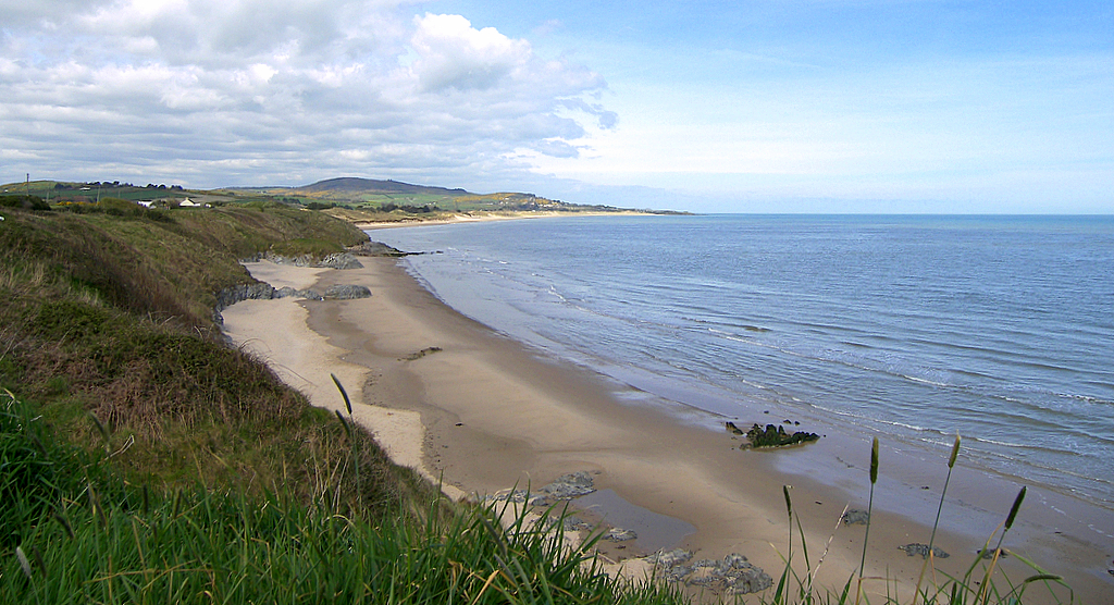 OutlinedFairy fort / earthen ringfort · 736 yd
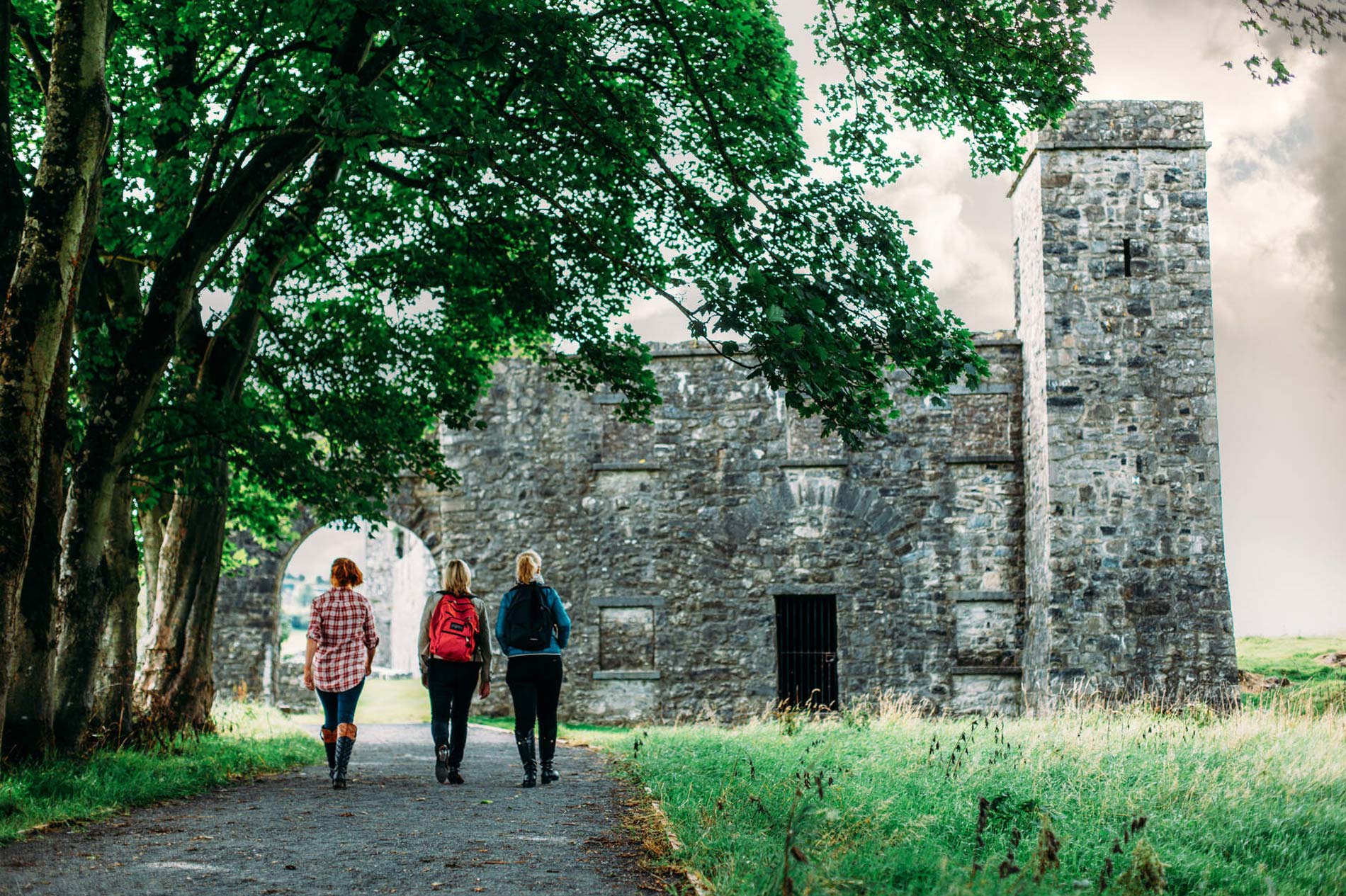 Partially hachuredFairy fort / earthen ringfort · 743 yd
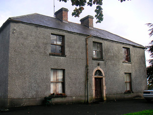 Newgrove Housefarm house · 1675 yd
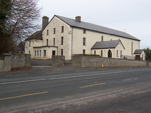 Catholic Church of the Assumptionchurch/chapel · 1.5 mi
 Knockdrin CastleCastle · 1.7 mi
 Taghmon CastleCastle, tower house · 1.8 mi
 Long PlantingForest · 2.4 mi
 Scragh Bog Nature ReserveNature reserve · 3.6 mi
 Saint Brigid's WellSpring · 3.7 mi
 Church IslandIsland · 4.1 mi
 United Nations War MemorialMemorial · 4.1 mi
 The Chimera GalleryGallery · 4.5 mi