What is recorded here
Forty feet of grass and memory stretch across Sonnagh, holding a hollow space where human hands shaped the earth long before written records. The southeast gap waits like a door, inviting imagination into the dark heart of the fort. Field banks have swallowed the outer edges, yet the central chamber remains clear enough to picture lives lived inside its circle.
In gently undulating grassland. Subcircular rath (N-S 36m, E-W 32m), in fair condition, defined by a scarp, intervening fosse and traces of an outer bank from SSE through S to SSW. A gap (Wth 2.8) at SE could be original. Field banks overlie the enclosing elements.
The above description is derived from the published 'Archaeological Inventory of County Galway Vol. II - North Galway'. Compiled by Olive Alcock, Kathy de hÓra and Paul Gosling (Dublin: Stationery Office, 1999).
Date of upload: 05 August 2010
The monument record does not grant public access. Check the route and ask the landowner before entering private land.
- What survives
- Recorded monument
Places near here
 European ashEuropean ash · 961 yd
 Enclosure in LowvilleEnclosure · 1233 yd
 IndicatedEnclosure · 1518 yd
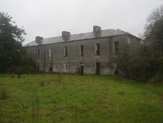 Lowville HouseOfficially recorded historic building · 1531 yd
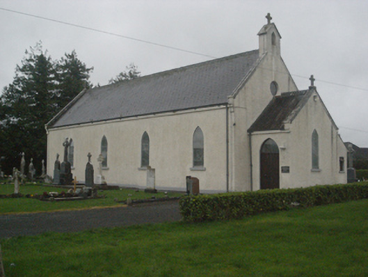 Saint Teresa's Catholic Churchchurch/chapel · 1.2 mi
 Killure Castle (in ruins)Castle, tower house · 1.3 mi
 LismoneyForest · 1.8 mi
 Site of Cloonigny CastleCastle, unclassified · 2.2 mi
 Clooncoran IslandIsland · 3.4 mi
 Kilconnell AbbeyHeritage attraction · 4.6 mi
 Battle of Aughrim Interpretative CentreMuseum · 5.3 mi
 Urraghry HillMountain / peak · 5.7 mi