What is recorded here
Fairy fort in Skagh, County Limerick: a 36m oval earthwork in wet pasture, mapped in 1897 and levelled in the 1960s. Its faint rim still shows in cropmarks and a curving field boundary. What lived there may be lost, but the shape refused to disappear completely.
In low-lying, wet pasture with restricted to moderate views, c. 22m S of townland boundary with Laskiltagh. Depicted on the 1897 ed. OS 25-inch map as a roughly circular-shaped earthwork. Monument surveyed by the ASI in 2001 and described as a slightly raised, roughly oval-shaped area (36m E-W; 32m N-S) defined by a low scarp (Wth 2.5m; H 0.5m) visible intermittently from SE-S-W-N-NE, defined by a field boundary from NE-E-SE. The interior is gently undulating, dry and clear of vegetation. According to local information, the monument was levelled in the 1960s. Monument is visible as a faint oval-shaped cropmark on Digital Globe orthophotos taken 2011-13 and on Google Earth orthoimagestaken 28/06/2018. Curving field boundary at E incorporates original enclosing feature of ringfort.
See attached sketch plan surveyed and drawn by ASI and Google Earth orthoimage.
Compiled by: Alison McQueen and Vera Rahilly
Date of upload: 29 July 2020
The monument record does not grant public access. Check the route and ask the landowner before entering private land.
- What survives
- Recorded monument
Places near here
 Hachured, The HovelEnclosure · 569 yd
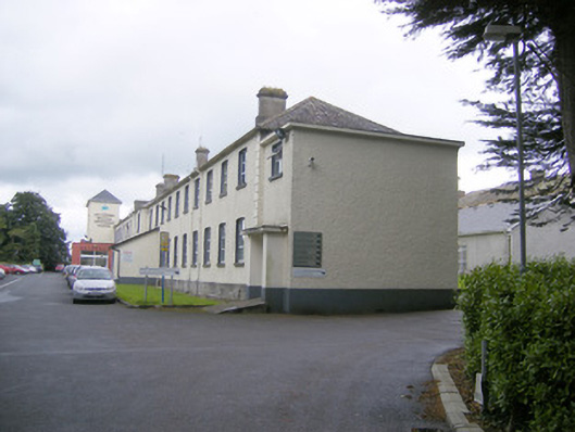 workhouseworkhouse · 662 yd
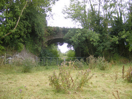 bridgebridge · 808 yd
 BarrowBarrow, mound barrow · 820 yd
 Biodiversity in the Maigue CatchmentVisitor information · 1536 yd
 CastleCastle, Anglo-Norman masonry castle · 1.1 mi
 Fanningstown Castle (in ruins)Castle, tower house · 1.4 mi
 European ashEuropean ash · 1.5 mi
 Dysert AenghusaHeritage attraction · 1.5 mi
 Monasteranenagh AbbeyHeritage attraction · 2.5 mi
 Kinnoor WellSpring · 3.3 mi
 GinkgoGinkgo · 3.3 mi