What is recorded here
Magic and memory both build with marble, cherry wood, or remembered breath. The chamber is a place where love, loss, or ownership becomes visible. People come to remember, adjust, or create. The chamber is complete because it can be seen, entered, and changed.
In rough to average pasture, located at break of slope at top of a SE-facing slope overlooking mouth of Palmerstown River. To NW ground rises to a high ridge that dominates the skyline.
This ringfort is not shown on any edition of the OS 6-inch maps. It consists of a slightly raised circular area (26.6m N-S; 27.7m) enclosed by a stony bank (Wth 3m; int H 0.5m; ext. H 0.3m at N) on W-N, reduced to a barely discernible rise at N-NE and to a scarp (H 1.1m at S) elsewhere. It is built up on the E and S to compensate for the natural slope creating a fairly level interior with only a slight slope to S-SE. As a result, the interior is almost flush with external ground level to N, but the perimeter at S has a pronounced external drop. There is a break (Wth 8m) in the bank at E. The break is flanked on the S side by a low bank which extends for 5m to SE beyond the ringfort. A field wall, bordering a trackway, on a NW-SE axis, clips NE edge of the ringfort.
Compiled by: Jane O’Shaughnessy
Date of upload: 7 December 2018
The monument record does not grant public access. Check the route and ask the landowner before entering private land.
- What survives
- Recorded monument
Places near here
 Enclosure in SteelaunEnclosure · 158 yd
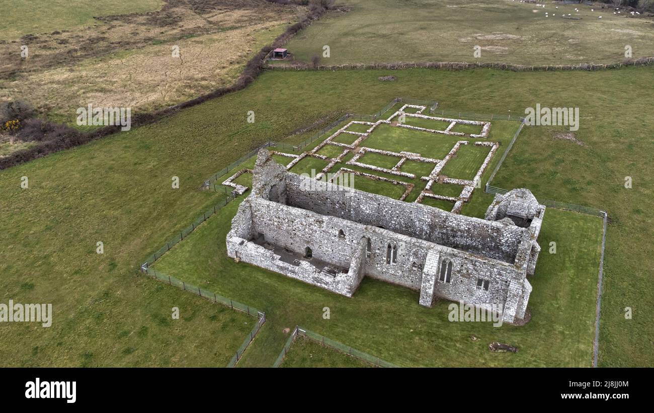 Enclosure in RathfranEnclosure · 184 yd
 Summerhill Housecountry house · 1190 yd
 farm housefarm house · 1368 yd
 CastlenageehaCastle, unclassified · 1609 yd
 TrabaunBeach / strand · 1.1 mi
 Rinnaun PointHeadland · 1.7 mi
 Green IslandIslet · 2.1 mi
 French Landing 1798Memorial · 2.1 mi
 Castle (in Ruins)Castle, tower house · 2.2 mi
 Battle of Killalabattle · 2.3 mi
 Battlefields of MoyneBattlefield · 3.1 mi