What is recorded here
Fairy fort in Raheennagun, County Kilkenny: circular earthwork about 42m across with a broad outside ditch, marked on the first Ordnanceance Survey maps and still visible as a grassy ring where scrub and trees press in. People may have lived, hidden or worshipped there before the fields closed around it; the name suggests they also believed the place belonged to beings who do not wish to be mapped.
Indicated on the 1st (1839-40) ed. OS 6-inch map and 1945-6 revision as a circular enclosure (int. diam. c. 42m) with a wide external fosse (Wth 7-10m). A townland boundary runs along the edge of the NE sector and a field boundary runs NE-SW along the NW edge of the monument. It is described by O'Kelly (1969, 24) as a 'partly-demolished rath'. The interior is covered in grass with some trees and scrub encroaching.
Compiled by: Jean Farrelly
Date of upload: 15 September 2020
The monument record does not grant public access. Check the route and ask the landowner before entering private land.
- What survives
- Recorded monument
Places near here
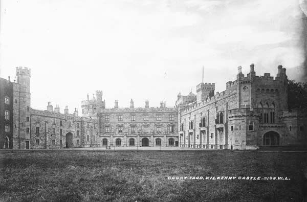 Enclosure in RaheennagunEnclosure · 171 yd
 Lady DesartMemorial · 968 yd
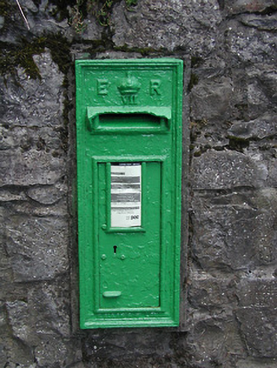 post boxpost box · 997 yd
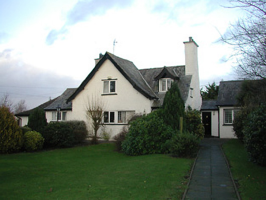 Cúl na Gréinehouse · 1045 yd
 Enclosure in TalbotsinchEnclosure · 1215 yd
 Bawn in Kilcreen (shillelogher By.)Bawn · 1.2 mi
 Castle (in ruins)Castle, tower house · 1.2 mi
 Kilkenny CreameryMemorial · 1.2 mi
 European ashEuropean ash · 1.2 mi
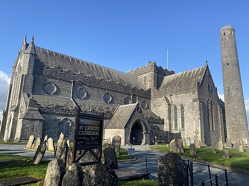 St. Canice's CathedralVisitor information · 1.3 mi
 Saint Canice's Cathedral Round TowerViewpoint · 1.3 mi
 Black PoplarBlack Poplar · 1.3 mi