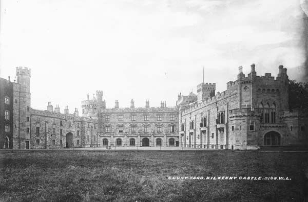
What is recorded here
A spring is indicated on the 1st (1839) ed. OS 6-inch map immediately SSW of the enclosure, in tillage. Identified on an aerial photograph (GB90.CH.03, 16 July 1990) shows a cropmark of a curvilinear enclosure (diam. c. 35m) defined by a fosse and with an entrance facing SE. There is a ringfort (KK019-006----) c. 110m to the W.
Compiled by: Dr. Gillian Barrett for the Archaeological Survey of Ireland and Jean Farrelly
Date of revised upload: 21 October 2020
A local fairy fort (ringfort/rath); wider significance not recorded.
The monument record does not grant public access. Check the route and ask the landowner before entering private land.
- What survives
- Recorded monument
Places near here
 Lady DesartMemorial · 800 yd
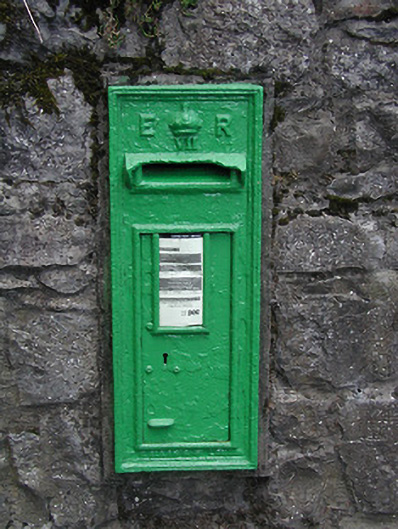 post boxpost box · 827 yd
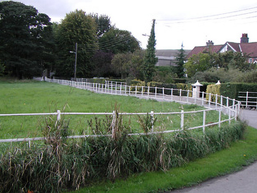 parkpark · 875 yd
 Enclosure in TalbotsinchEnclosure · 1051 yd
 Enclosure in Kilcreen (crannagh By.)Enclosure · 1631 yd
 Kilkenny CreameryMemorial · 1.1 mi
 Bawn in Kilcreen (shillelogher By.)Bawn · 1.2 mi
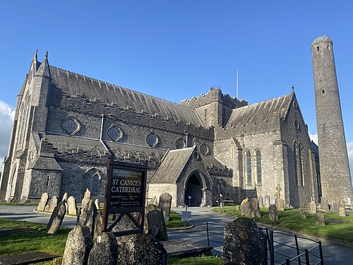 St. Canice's CathedralVisitor information · 1.2 mi
 Black PoplarBlack Poplar · 1.2 mi
 Saint Canice's Cathedral Round TowerViewpoint · 1.2 mi
 European ashEuropean ash · 1.3 mi
 Castle (in ruins)Castle, tower house · 1.3 mi
Other information
Photo: Credit not shown in the picture search · Rights wording not checked; contact us if this picture should be removed