
What is recorded here
The faint outline of a circular enclosure (diam. c. 15-20m) identified as a cropmark of a fosse on an aerial photograph (CUCAP BGG033, 16 July 1971). A ring-ditch (KK019-022001-) was identified c. 65m to the SE, another ring-ditch (KK019-022002-) c. 55m to the NE, as well as a relic field system (KK019-022004-) which appears to post-date the ring-ditches as one of the field boundaries runs roughly NW-SE across one of the ring-ditches (KK019-022001-).
See attached aerial photograph CUCAP BGG033, 16 July 1971
Compiled by: Jean Farrelly
Date of upload: 23 September 2020
A local fairy fort (ringfort/rath); wider significance not recorded.
The monument record does not grant public access. Check the route and ask the landowner before entering private land.
- What survives
- Recorded monument
Places near here
 Kilcreen Lodgehouse · 219 yd
 Bawn in Kilcreen (shillelogher By.)Bawn · 613 yd
 European ashEuropean ash · 672 yd
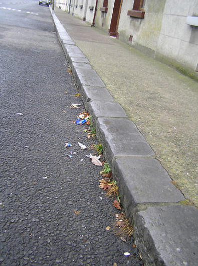 cobbles/flags/paving/kerbingcobbles/flags/paving/kerbing · 765 yd
 St. Canices WellHoly well · 790 yd
 CrossCross, Wayside cross · 837 yd
 Paddy ButlerMemorial · 840 yd
 Bawn in Gardens (kilkenny City By., St. John's Par.)Bawn · 841 yd
 Kilkenny CreameryMemorial · 869 yd
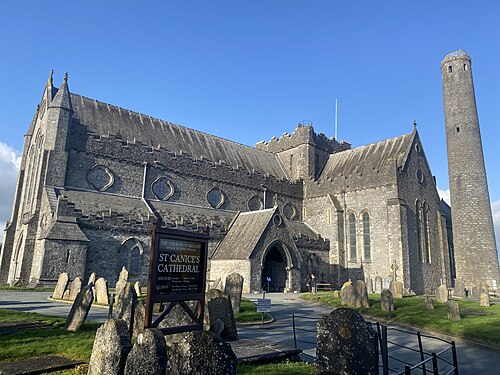 St. Canice's CathedralVisitor information · 1037 yd
 Black AbbeyVisitor information · 1060 yd
 Saint Canice's Cathedral Round TowerViewpoint · 1083 yd
Other information
Photo: Credit not shown in the picture search · Rights wording not checked; contact us if this picture should be removed