What is recorded here
Knockatober and Pollboy both carry the same hidden shape: a circular enclosure about forty metres across, old enough to appear on the first Ordnance Survey map and now buried beneath a graveyard. The fort has not vanished so much as been absorbed, its boundary forgotten by people who walk past graves instead of asking what the land held before Christian death. That is the strange part. A ringfort is a claim made visible, a line drawn around life, and a graveyard is a claim made around ending. When one swallows the other, the place stops being history and becomes a warning about memory itself.
Associated with a graveyard (GA071-074001-). Marked on 1st ed. of OS 6-inch map as a circular enclosure (D c. 40m). No visible surface trace survives: the modern graveyard now occupies the site.
The above description is derived from the published 'Archaeological Inventory of County Galway Vol. II - North Galway'. Compiled by Olive Alcock, Kathy de hÓra and Paul Gosling (Dublin: Stationery Office, 1999).
Date of upload: 05 August 2010
The monument record does not grant public access. Check the route and ask the landowner before entering private land.
- What survives
- Recorded monument
Places near here
 IndicatedChurch · 930 yd
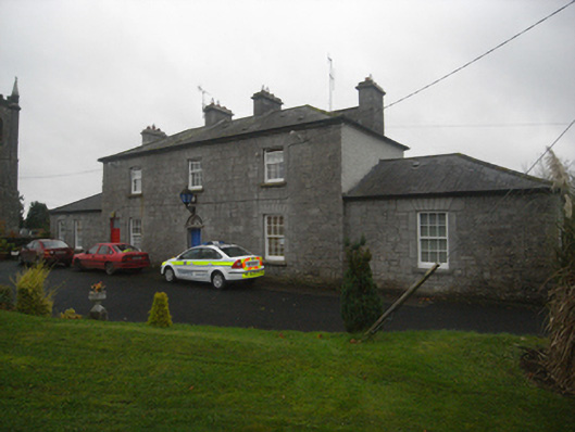 Monivea Garda Síochána Stationrectory/glebe/vicarage/curate's house · 1064 yd
 CaherlissakillFairy fort / ringfort · 1.2 mi
 LaghtaLeacht cuimhne · 1.5 mi
 Monivea CastleCastle · 1.6 mi
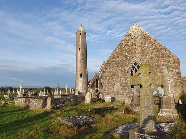 Killaclogher CastleCastle · 2.1 mi
 The HazelWood · 2.7 mi
 SycamoreSycamore · 3.4 mi
 First Battle of Athenrybattle · 4.3 mi
 Athenry CastleHeritage attraction · 4.9 mi
 Athenry AbbeyHeritage attraction · 5.0 mi
 Menlough IRAMemorial · 6.9 mi