What is recorded here
Five decades of ploughing have not erased the shadow of a cave beneath Pollacullaire grass. A father refused to harm the tree inside the ring, treating the quiet field as a living chamber rather than dead soil. The land still drops away at its western edge like a forgotten doorway, waiting for someone brave enough to listen for the hollow sound beneath the roots.
On a rise in gently undulating grassland. Marked on 1st ed. of OS 6-inch map as a subcircular enclosure (c. 50m by c. 40m). All that is visible is a low curving scarp (H 0.25m) at NE, while W limits appear to be represented by a slight drop in ground level. According to the landowner, there was formerly a 'tree' in the interior which his father would not touch. He also had the tradition of a 'cave' in the same area: 'a hollow sound' has also been heard c. 60m to NNE, in the adjacent field, during ploughing. A 'Burial Ground' (GA042-204001-) is associated. Though insufficient survives to permit classification, the associated of a 'cave' and an earthwork could suggest a ringfort and possible Man-made underground passage.
The above description is derived from the published 'Archaeological Inventory of County Galway Vol. II - North Galway'. Compiled by Olive Alcock, Kathy de hÓra and Paul Gosling (Dublin: Stationery Office, 1999).
Date of upload: 05 August 2010
The monument record does not grant public access. Check the route and ask the landowner before entering private land.
- What survives
- Recorded monument
Places near here
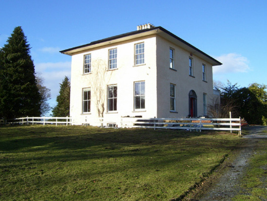 The Rectoryrectory/glebe/vicarage/curate's house · 375 yd
 Church of Saint John the Baptist (Killursa)church/chapel · 693 yd
 LisheenArchaeological place · 1263 yd
 Headford CastleCastle, unclassified · 1373 yd
 CaherFairy fort / stone ringfort · 1576 yd
 Moyne Castle in ruinsCastle, unclassified · 1.2 mi
 Ross Errilly FriaryHeritage attraction · 1.5 mi
 Kilcoona Round TowerHeritage attraction · 3.6 mi
 BallynacreggaWood · 3.7 mi
 Cregg PlantationForest · 3.9 mi
 Walsh's IslandIslet · 4.2 mi
 Ballinduff BayBay · 4.9 mi