What is recorded here
Situated on grassland with townland boundary with Piercefield or Templeoran 80m to S. Cropmark of circular enclosure or possible ringfort visible on Digital Globe aerial photograph taken November 2011. Not depicted on any edition of the OS 6-inch maps. Ringfort (WM011-095----) 100m to SSW. Large ringfort (WM011-096----) 540m to NNE.
Compiled by: Frank Coyne and Caimin O'Brien
Date of upload: 24 August 2017
The monument record does not grant public access. Check the route and ask the landowner before entering private land.
- What survives
- Recorded monument
Places near here
 IndicatedBawn · 603 yd
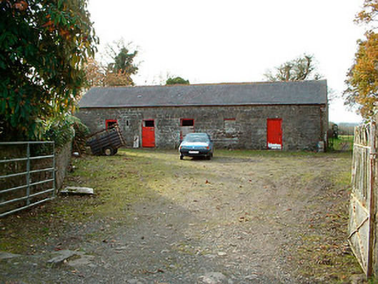 outbuildingoutbuilding · 772 yd
 Templeoran ChurchChurch · 1391 yd
 Castle Quarter, Castle (in ruins)Castle, unclassified · 1588 yd
 Partially hachuredFairy fort / ringfort · 1.0 mi
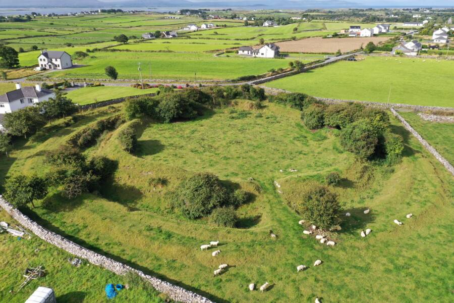 Fairy fort / ringfort in Grange (moygoish By.)Fairy fort / ringfort · 1.1 mi
 Carrickphilbin IslandIslet · 2.5 mi
 Baronstown ForestWood · 2.6 mi
 Horse-chestnutHorse-chestnut · 2.7 mi
 Srudarra IslandIslet · 3.3 mi
 Bridge Memorial (Kenna)Memorial · 3.5 mi
 Rock of CurryCliff · 11 mi