What is recorded here
Mortons and Oort still hide the fort beneath living green. It is not lost, only waiting to be recognised in the shape of the land.
Only the faintest traces in the growth indicate the location of the subcircular single-ringed 'Fort' marked on the 1st edition of the OS 6-inch map. It was situated on an E-W running hillock in well cultivated land.
The above description was derived from the 'Archaeological Survey of County Donegal. A description of the field antiquities of the County from the Mesolithic Period to the 17th century.' Compiled by: Brian Lacey with Eamon Cody, Claire Cotter, Judy Cuppage, Noel Dunne, Vincent Hurley, Celie O'Rahilly, Paul Walsh and Seán Ó Nualláin (Lifford: Donegal County Council, 1983). In certain instances the entries have been revised and updated.
Date of upload: 22 September 2008
The monument record does not grant public access. Check the route and ask the landowner before entering private land.
- What survives
- Recorded monument
Places near here
 Fairy fort / stone ringfort in AghaglassanFairy fort / stone ringfort · 1037 yd
 Aghaglassan Stone RingfortFairy fort / stone ringfort · 1158 yd
 farm housefarm house · 1528 yd
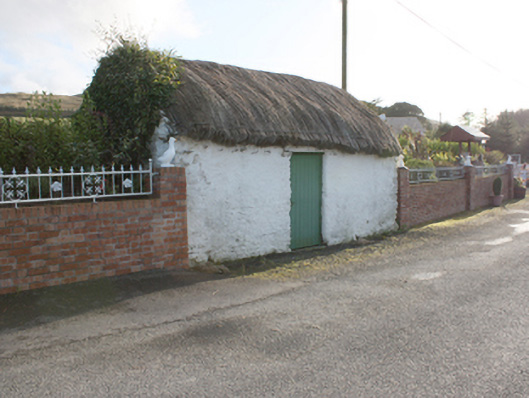 outbuildingoutbuilding · 1579 yd
 Carndonagh Early Church GraveyardGraveyard · 3.7 mi
 CroaghmoreMountain / peak · 3.8 mi
 CrockavishaneMountain / peak · 3.9 mi
 CuldaffOfficial bathing water · 3.9 mi
 CastleCastle, unclassified · 4.4 mi
 Tremone BayBeach / strand · 4.9 mi
 Castle CaryCastle, unclassified · 5.6 mi
 Cooley CrossMemorial · 5.8 mi