What is recorded here
Mylespark holds a forgotten ringfort, its earth long since swallowed by grass and foottraffic. The name fairy fort suggests people once believed the circle belonged to something else, but more likely it marked a human boundary, a home or warning line now lost. What remains is a place where memory stopped being certain, and the land took back the facts it could not keep.
The Archaeological Survey of Ireland (ASI) is in the process of providing information on all monuments on The Historic Environment Viewer (HEV). Currently the information for this record has not been uploaded. To access available information for research purposes please make an appointment in advance with the Archive Unit (open Fridays 10.00 am – 5.00 pm), Department of Housing, Local Government and Heritage, The Custom House, Dublin 1 D01W6XO or email NMarchive@housing.gov.ie.
The monument record does not grant public access. Check the route and ask the landowner before entering private land.
- What survives
- Recorded monument
Places near here
 IndicatedFairy fort / ringfort · 695 yd
 Field system in CarheenshowaghField system · 918 yd
 Castle (in ruins)Castle, tower house · 1006 yd
 Corrofin CastleCastle · 1304 yd
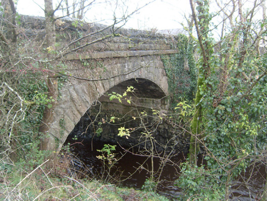 Corrofin Bridgebridge · 1348 yd
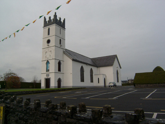 Saint Colman's Catholic Churchchurch/chapel · 1494 yd
 KnockmaaWood · 4.4 mi
 European BeechEuropean Beech · 4.9 mi
 Kilcoona Round TowerHeritage attraction · 6.2 mi
 Mass RockNamed rock · 6.5 mi
 Ballinduff BayBay · 7.5 mi
 Oileán an AoilIsland · 9.4 mi