What is recorded here
Situated on a very slight rise, in relatively low-lying, wet pasture, with good views of the surrounding landscape. Rectangular-shaped enclosure/house site (WM023-078002-) lies c. 12m to W. Monument described in 1971 as a large subcircular-shaped area (diam. 39m) enclosed by a low bank and external fosse with slight causeway (Wth at top 2.3m; overall Wth 3.4m) at E may represent the entrance. The bank is almost reduced to a scarp in places and is slightly defaced by livestock. There is a disturbance depression within the centre. The W half of the interior is occupied by a suboval-shaped house site (WM023-078003-) which appears to be a later feature because its slight fosse cuts through the fosse of the ringfort. A Preservation Order was placed on this monument on 11/02/1975 (SMR file).
See attached plan and profile of monument surveyed and drawn by the ASI.
Compiled by Alison McQueen, Vera Rahilly and Caimin O’Brien.
Date of upload: 29 July 2019
The monument record does not grant public access. Check the route and ask the landowner before entering private land.
- What survives
- Recorded monument
Places near here
 Enclosure in MoyvoughlyEnclosure · 570 yd
 bridgebridge · 929 yd
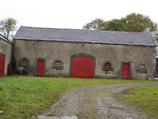 Moyvoughly Housestables · 1157 yd
 Partially hachuredFairy fort / ringfort · 1321 yd
 Site of Lissanode CastleCastle, unclassified · 1648 yd
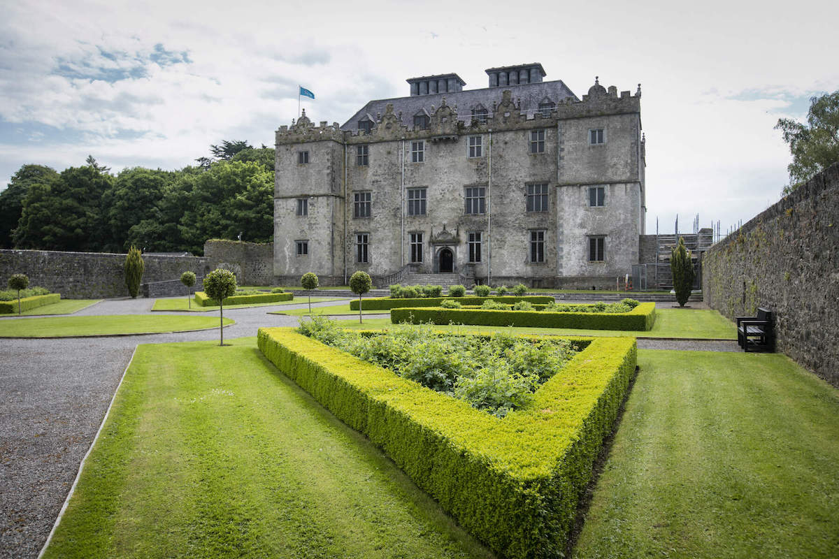 CastleCastle, unclassified · 1.0 mi
 Japanese pagoda treeJapanese pagoda tree · 3.3 mi
 Dún na Sí Heritage CentreMuseum · 3.5 mi
 Dún na SíMuseum · 3.5 mi
 Charles BianconiMemorial · 3.8 mi
 Moate HillMountain / peak · 4.0 mi