What is recorded here
Thirty metres of packed earth and shadow cut across the low grassland at Mountbrowne, marking a home rather than a myth. Inside the western half, a rectangular outline still holds the shape of a dwelling, waiting for the memory of the people who lived there to return. Two hundred metres east, another ringfort watches the same flat horizon, suggesting a small cluster of lives moved through this damp, open country together.
In low-lying grassland. Well-preserved subcircular rath (E-W 30.5m, N-S 28.5m) defined by a bank and external fosse. A rectangular structure (L 9.4m, Wth 6.8m) is located in W half of the interior; possibly a house site. A ringfort (GA071-006----) is visible c. 200m to E.
The above description is derived from the published 'Archaeological Inventory of County Galway Vol. II - North Galway'. Compiled by Olive Alcock, Kathy de hÓra and Paul Gosling (Dublin: Stationery Office, 1999).
Date of upload: 05 August 2010
The monument record does not grant public access. Check the route and ask the landowner before entering private land.
- What survives
- Recorded monument
Places near here
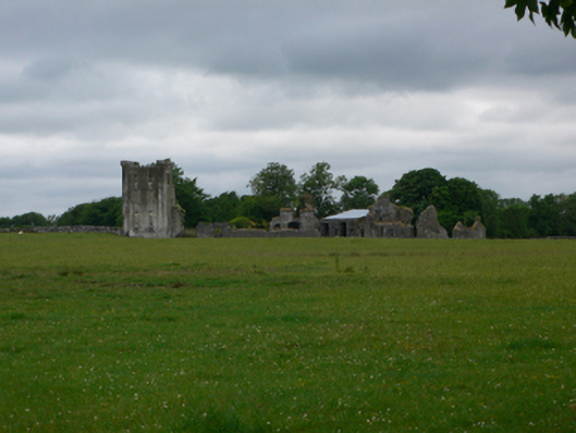 Bellevillecountry house · 1126 yd
 Belleville CastleCastle · 1132 yd
 Oliver Brown Monumentmonument · 1487 yd
 The HazelWood · 1728 yd
 Enclosure in Castle EllenEnclosure · 1.0 mi
 Castle (in ruins)Castle, tower house · 1.1 mi
 CahermoreHillfort · 1.2 mi
 First Battle of Athenrybattle · 3.0 mi
 SycamoreSycamore · 3.4 mi
 Athenry CastleHeritage attraction · 3.7 mi
 Athenry AbbeyHeritage attraction · 3.9 mi
 Rabbit IslandIslet · 11 mi