What is recorded here
Fairy fort in Lusk, County Dublin: a defended farmstead with a 35m D-shaped enclosure, wide ditch, southern timber bridge, oval buildings, extra enclosures and a kiln, used from about 596 to 885 AD. It is no longer visible beneath the new housing estate, but the shapes still belong to people who lived there: families, workers, visitors, perhaps children running between buildings while bread cooked or barley dried. The fairies in the name do not weaken the place; they remind us that human life can disappear so quickly it becomes fantasy.
This site was excavated prior to development of a housing estate (Licence no. 05E0848). The defended farmstead consisted of several elements, the primary D-shaped enclosure (35m diam.) of which was defined by a large ditch (2.5m wide x c. 1m deep). The main entrance of the enclosure was to the S and post-hole supports for a large timber bridge were found here. Internally two oval structures (DU008-103002-; DU008-103003-) were defined by postholes (6-11m diam.). Immediately E of the main enclosure was a sub-square enclosure (DU008-10304-). A third enclosure (DU008-103005-) was located to the N of the farmstead, NE of which was a kiln (DU008, 06). Several phases of use were indicated by charcoal samples, the earliest of which was dated to 596-672 AD and the latest to 770-885 AD (Giacometti 2011).
Compiled by: Christine Baker
Date of upload: 5 February 2015
The monument record does not grant public access. Check the route and ask the landowner before entering private land.
- What survives
- Recorded monument
Places near here
 Enclosure in LuskEnclosure · 3 yd
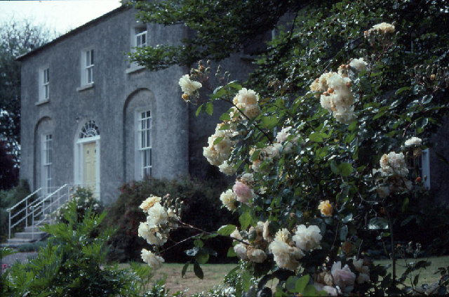 Glebe Houserectory/glebe/vicarage/curate's house · 298 yd
 Thomas AsheMemorial · 420 yd
 Ring-ditch in LuskRing-ditch · 476 yd
 Lusk Community Halllibrary/archive · 829 yd
 Lusk Tidy TownsMemorial · 857 yd
 CastleCastle, unclassified · 1.5 mi
 Picnic AreaPicnic place · 1.7 mi
 The Birds of Rogerstown EstuaryVisitor information · 1.9 mi
 Turvey Allotments and Nature ReserveNature reserve · 2.0 mi
 Turvey HouseCastle, tower house · 2.1 mi
 Newbridge House and DemesneHeritage attraction · 2.7 mi