What is recorded here
Magic is not required to explain why people feared the fort or why it disappeared under grass and forgetting. The facts remove every claim that fairy magic is true.
On top of a low spur on a moderately steep, N-facing pasture slope surrounded by tillage. A poorly preserved, oval area (int. diams. c. 45m N-S; c. 30m E-W) is defined by a narrow, hedged, inner earthen bank (Wth 1m; int H 0.4m; ext H 3m) N-E-SW which is reduced to a scarp (H 1.2m) SW-W-N, and by a broad, outer fosse (Wth 2-3m; D 1-1.4m) NE-SE-SW which is filled with old silage and straw. The interior falls gently (1m) from N-S and is planted as a lawn associated with a private dwelling house immediately to the W.
Compiled by: Gearóid Conroy
Date of upload: 10 June 2011
The monument record does not grant public access. Check the route and ask the landowner before entering private land.
- What survives
- Recorded monument
Places near here
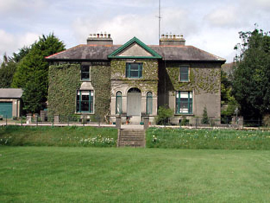 Robertstown Househouse · 732 yd
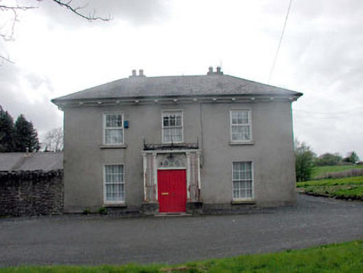 Annsborough Housecountry house · 900 yd
 Enclosure in Lowtown (kilmeage South Ed)Enclosure · 1001 yd
 Grand Canal WayVisitor information · 1187 yd
 Bawn in Grangeclare WestBawn · 1.2 mi
 Kilmeague CastleRuins · 1.5 mi
 Mullhall's FortArchaeological place · 1.6 mi
 Ballynafagh Bog Special Area of ConservationNature reserve · 2.7 mi
 Hill of AllenMountain / peak · 3.1 mi
 Museum of MotorsportMuseum · 3.7 mi
 Killina BogWood · 4.4 mi
 Bithia Mary CrokerMemorial · 7.6 mi