What is recorded here
Situated on the level landscape of the low-lying and narrow part (L c. 4.5km NE-SW; Wth c. 600m-1.5km NW-SE) of the Hook peninsula. It is known locally as a raheen and described as ‘a mound covered in bushes’ (Colfer 1978, 8, map 9). It is not visible at ground level in a harvested cereal crop.
Compiled by: Michael Moore
Date of upload: 31 March, 2014
The monument record does not grant public access. Check the route and ask the landowner before entering private land.
- What survives
- Recorded monument
Places near here
 Enclosure in LoftushallEnclosure · 215 yd
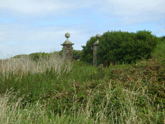 Loftus Hallgates/railings/walls · 373 yd
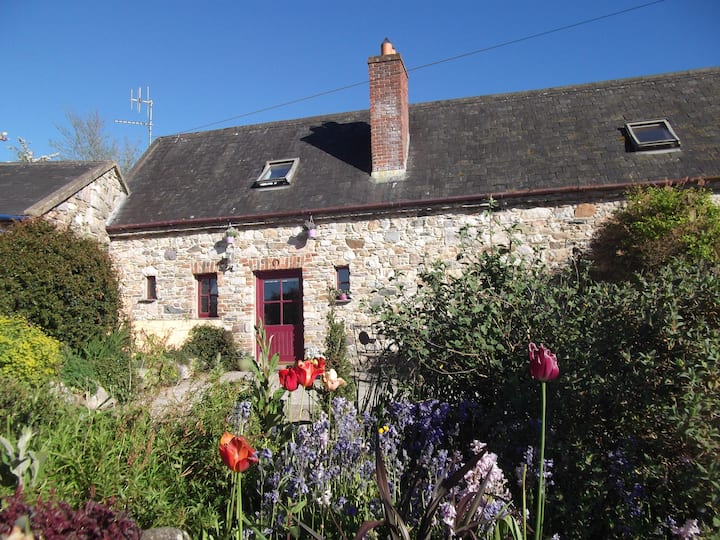 Duffins WellHoly well · 437 yd
 kilnkiln · 487 yd
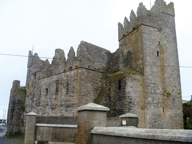 Slade CastleCastle, tower house · 800 yd
 St. Dubhan's ChurchHeritage attraction · 974 yd
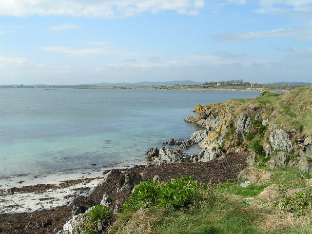 The Hall BayBeach / strand · 992 yd
 Long RockNamed rock · 1387 yd
 hookHeritage attraction · 1503 yd
 DoornogeHeadland · 1729 yd
 Boyce's BayBeach / strand · 1.4 mi
 Houseland Castle (in ruins)Castle, tower house · 1.7 mi