What is recorded here
Situated on a broad rise within a mature coniferous forestry plantation in the demesne of Lissadell House. Depicted as a perfectly circular enclosure on the 1836-7 edition of the OS 6-inch map and as a subcircular enclosure on the 1940-1 edition. This monument has been almost completely levelled and on the basis of the surviving remains it is impossible to determine its original extent and morphology.
Compiled by: Patrick F. O'Donovan
Date of upload: 21 April 2011
The monument record does not grant public access. Check the route and ask the landowner before entering private land.
- What survives
- Recorded monument
Places near here
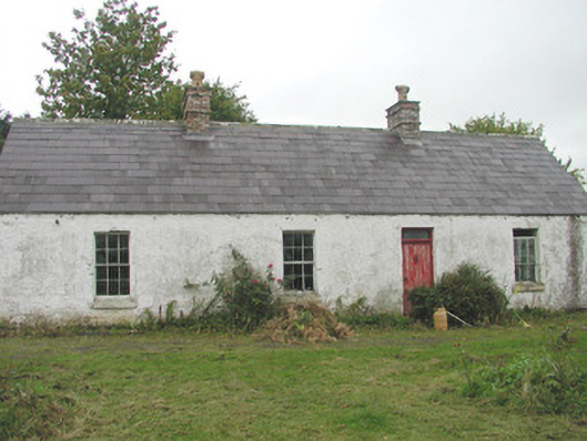 Lissadell Househunting/fishing lodge · 297 yd
 Fulacht fia in BallygilganFulacht fia · 327 yd
 LissadellFairy fort / earthen ringfort · 486 yd
 Church Hill WoodWood · 511 yd
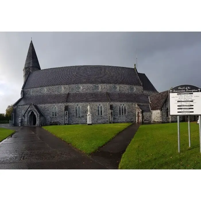 Church (in Ruins)Church · 514 yd
 Glancy's Gate WoodWood · 590 yd
 Castle (Site of)Castle, unclassified · 809 yd
 Bawn in DoonforeBawn · 1742 yd
 Finned PointHeadland · 1.5 mi
 Drumcliff BayBay · 1.7 mi
 Ardtermon StrandBeach / strand · 2.7 mi
 Rosses Point BeachBeach / strand · 2.9 mi